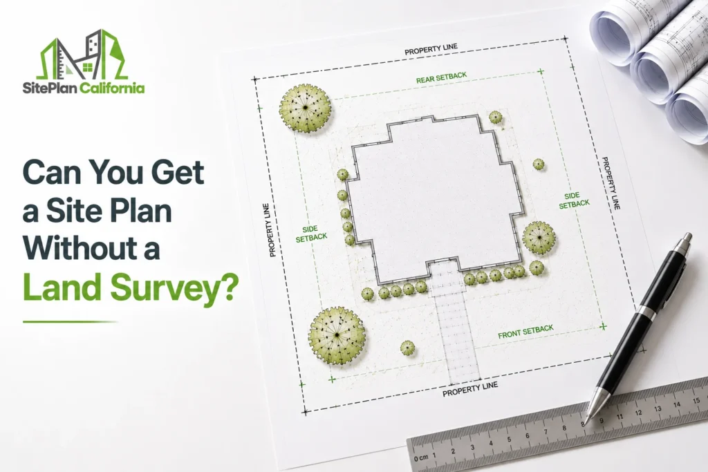
Many California property owners ask whether they can prepare a site plan without ordering a new survey first. In some cases, the answer is yes. A site plan without survey may be possible when reliable property information already exists and the project does not require professional boundary verification.
At SitePlan California, we have seen firsthand that the right answer depends on the property, the proposed work, and how precise the boundary information needs to be. The key is knowing when existing records are enough and when a licensed land surveyor should become involved.
When Can a Site Plan Be Prepared Without a Survey?
A new survey is not automatically required for every permit project.A site plan may be prepared from existing information when the available records provide enough reliable detail for the intended use.
Useful sources can include:
- Previous site plans
- Existing surveys
- Recorded parcel maps
- Assessor information
- Permit drawings
- Owner supplied measurements
- Current property photos
The strongest situation is when reliable boundary information already exists and the proposed improvement is not dependent on a highly sensitive setback relationship.
For example, if a homeowner has a recent survey and wants to add a small improvement well inside the buildable area, a new survey may not be necessary.
The older survey can still provide the boundary framework while the new improvement is added to the site plan.
What Is the Difference Between a Site Plan and a Survey?
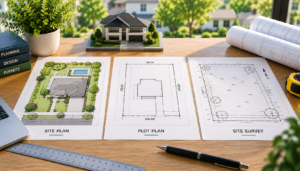
A site plan and a land survey serve different purposes. A site plan is a drawing that shows how a property is arranged and how proposed work relates to existing conditions.
A professional land survey establishes or verifies property boundaries and other survey related information through licensed surveying practice. This distinction matters.
A drafting team can use reliable source information to prepare a permit drawing. It should not represent uncertain boundaries as professionally verified.
I always advise clients to separate these two services clearly. The goal is not to avoid a survey at all costs. The goal is to understand whether one is actually needed for the project.
What Types of Projects May Work Without a New Survey?
Some projects are more likely than others to be prepared using existing property information.
A new survey may not always be necessary when:
- Reliable boundary documents already exist
- The proposed structure is well away from setback limits
- The local jurisdiction does not specifically require a current survey
- Existing conditions are easy to verify
- The project is relatively simple
This can apply to certain sheds, decks, patios, garages, additions, and other residential improvements.However, every project should still be reviewed individually.
A simple project can become more sensitive if it is close to a boundary, easement, slope, or other regulated site feature.
When Is a Survey More Likely to Be Needed?
There are situations where professional boundary verification becomes much more important. A survey should be considered when the project depends on exact location.
For example, a proposed addition that is only slightly farther from the property line than the minimum required setback leaves very little room for error. The same concern applies to a detached garage placed near a side or rear boundary.
A survey may also become necessary when:
Property records conflict.
Boundary markers cannot be identified.
The parcel is irregular.
There is a property dispute.
The city or county requests professionally verified boundary information.
A proposed structure is very close to a legal development limit.
In these situations, relying on approximate mapping can create unnecessary risk.
Why Online Parcel Maps Are Not the Same as Surveys
Online parcel maps can be useful research tools. They can show the approximate lot shape, parcel number, surrounding properties, and general boundary layout.
But the line displayed over an aerial image should not automatically be treated as the legal property boundary. The map layer and aerial image may not align perfectly.
A boundary can appear to pass through a fence, driveway, or building even when that is not the legal situation. At SitePlan California, we use public mapping as supporting information.
We do not present it as professional survey data. That distinction is important for both accuracy and trust.
Can an Old Survey Still Be Useful?
Yes. An existing survey can remain very valuable even when it was prepared years ago. The legal boundary information may still be useful if the parcel has not changed.
However, the improvements shown on the survey may no longer reflect current site conditions. Since the survey was prepared, the property may have gained:
- A pool
- A deck
- A garage
- A shed
- A patio cover
- An addition
This means the boundary framework may still be useful while the site improvements need to be updated. We review older documents in context rather than treating the entire drawing as automatically current.
Real World Scenario: When an Existing Survey Was Enough
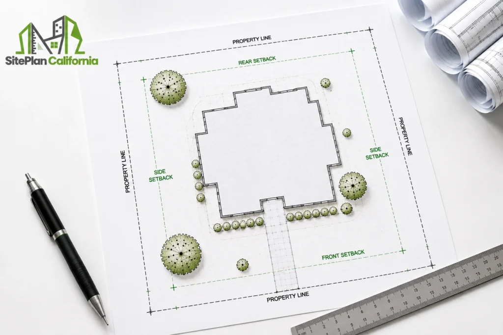
Consider a homeowner planning a new rear patio cover. The property owner already has a professionally prepared boundary survey from a previous project. The survey clearly shows the lot dimensions, house location, and property boundaries.
The proposed patio cover will be attached to the rear of the house and is comfortably inside the known setback area. Current photos confirm that the basic site conditions shown on the older survey have not changed significantly.
In this situation, preparing a site plan without survey can be realistic because useful professional boundary information already exists. A completely new boundary survey may add little value unless the local jurisdiction specifically requests one.
Now consider a different property where the patio cover is very close to the side boundary and no reliable boundary documentation exists. That project may deserve a different answer. The deciding factor is not convenience. It is the level of certainty the project requires.
Why Setbacks Make Boundary Accuracy More Important
Setbacks are usually measured from property boundaries. That means the closer a project gets to a setback limit, the more important the boundary information becomes.
Imagine that a local requirement calls for a five foot side setback. The proposed garage is shown 5.2 feet from what the owner believes is the property line. There is almost no margin for uncertainty.
If that assumed boundary is wrong, the project could become noncompliant. Now imagine the same garage is located 20 feet from the boundary. The risk created by a small boundary discrepancy is very different.
This is why boundary precision should match the sensitivity of the project. I prioritize that distinction when reviewing available source information.
What Should You Provide If You Do Not Have a Survey?
If no survey is available, gather as much useful property information as possible.
Good starting documents can include:
- Property address
- Assessor Parcel Number
- Recorded parcel information
- Previous permit plans
- Older site plans
- Property photographs
- Proposed project dimensions
- Permit instructions
Do not assume that more documents automatically mean better information.
A clear recorded map can be more useful than many screenshots from different property websites.
The drafting process should identify what each source actually establishes.
If important information remains uncertain, that should be explained rather than hidden.
Can a Permit Department Require a Survey Later?
Yes. A site plan may initially be prepared using available information, but the reviewing authority can request additional documentation if the property conditions are unclear or the project requires more precise verification.
This can happen during plan review. A reviewer may ask for:
Boundary clarification.
Additional dimensions.
A professional survey.
Updated property information.
More complete site documentation.
This does not necessarily mean preparing the original site plan was a mistake. Permit review can reveal project specific concerns that were not obvious earlier.
The important thing is to respond to the actual correction rather than guessing what the reviewer wants.
How to Decide Whether a Survey Is Worth Getting Early
The best decision comes from evaluating risk. Ask three questions.
How close is the proposed work to a property boundary? How reliable is the existing boundary information? Does the reviewing jurisdiction require a survey?
If the project is close to a boundary and the existing information is weak, getting professional verification early can prevent redesign later.
If reliable property documents already exist and the project sits comfortably within the available area, a new survey may not be necessary. At SitePlan California, we do not believe every customer should automatically pay for a service they do not need.
We also do not believe uncertain property information should be treated as exact simply to keep a project moving.
Why Choose Us for California Site Plan Drafting?
We focus on using the strongest available property information and explaining its limits clearly.
- We review existing surveys, parcel records, permit plans, and site information
- We can prepare site drawings from reliable existing sources when appropriate
- We do not present approximate online mapping as professional boundary verification
- We identify when boundary uncertainty may affect the proposed project
- We explain when a licensed land surveyor or another professional may be required
Frequently Asked Questions
Can I get a site plan without ordering a new survey?
Yes, in some cases. Reliable existing property information may be enough depending on the project, local requirements, and how important exact boundary verification is.
Is an assessor parcel map the same as a survey?
No. Assessor and parcel maps can be useful research sources, but they should not automatically be treated as professional boundary surveys.
Can I use an old survey for a new permit project?
Often, yes, if the boundary information remains relevant. Current site improvements should still be reviewed because the property may have changed since the survey was prepared.
When should I definitely consider a survey?
Consider one when boundaries are uncertain, records conflict, the project is close to setback limits, or the local authority specifically requires professional boundary verification.
Can SitePlan California determine my legal property boundary?
No. Legal boundary determination is a licensed land surveying service. We can prepare site plans using reliable available information and clearly identify when additional professional verification may be needed.
Conclusion
A site plan without survey can be possible when reliable property information already exists and the project does not depend on uncertain boundary assumptions. The closer construction gets to setbacks or other legal limits, the more important professional verification becomes. SitePlan California focuses on using available information responsibly and identifying when a licensed surveyor should be involved.