
Site Plans in Carlsbad, California
Permit-Focused Site Plans for Property Projects
Carlsbad site-plan drafting for residential additions, detached accessory buildings, patio or pool work and commercial site changes, coordinated with the City's plan-check and Planning requirements.
The Carlsbad Customer Self Service Portal supports specific online Building and Planning permit categories; other applications still use email or an in-person channel. Do not assume every permit type can be filed the same way.
Request Your Carlsbad Quote
Send the property address and project details. Add plans, photos, a survey, or permit comments if available.
Why Property Owners Use SitePlan California
A useful site-plan partner should make the property scope easier to understand before drafting begins. Our workflow is built around clear source information, permit coordination, editable local context, and a direct path from project idea to a reviewed drawing scope.
Permit-Focused Drafting
The drawing is organized around the property, proposed work, and permit coordination instead of decorative plan graphics.
Statewide California Coverage
The workflow supports projects throughout California while keeping local reviewing requirements separate and editable.
Correction-Ready Workflow
Written site-plan comments can be reviewed and incorporated when they fall within the agreed drafting scope.
Clear Professional Boundaries
Drafting is not misrepresented as surveying, engineering, architecture, or another licensed professional service when those disciplines are required.
How a Site Plan Supports a Property Project in Carlsbad
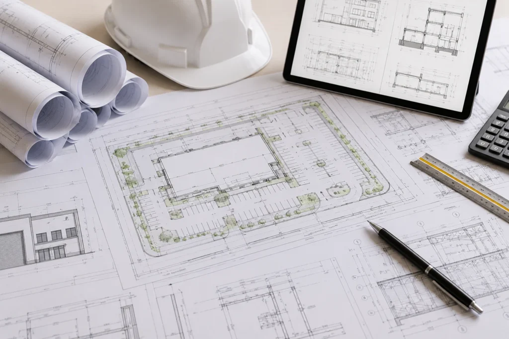
A site plan is a scaled, top-down drawing that explains the relationship between a property and the work being proposed on it. Unlike a floor plan, which focuses on interior rooms, or an elevation, which explains vertical appearance, a site plan helps show where the project sits on the lot and how it relates to existing buildings, access areas, property information, and other relevant improvements.
That property-level context is why site plans appear in so many different permit workflows. A homeowner may need one for an accessory dwelling unit, pool, detached garage, deck, patio cover, home addition, demolition project, or other exterior improvement. A contractor may need a cleaner property base so architectural, structural, and site information do not contradict one another. A commercial owner may need to explain changes to parking, circulation, access, loading, exterior equipment, or the relationship between multiple structures.
For a project in Carlsbad, the exact submittal requirements depend on the reviewing authority, the property, and the project type. A useful local page should therefore explain the drafting service while leaving room for verified local information rather than pretending one generic permit checklist applies everywhere.
Our approach is to build the property base first. Existing conditions and proposed work are separated visually so a reviewer does not have to guess what is changing. Relevant structures, access areas, dimensions, and documented property information are then coordinated into the drawing according to the project scope.
What Your Site Plan May Include
The exact contents depend on the property, project type, source documents, and reviewing agency. The items below are common site-plan components when they are relevant and supported by the available information.
Property Information
Available parcel information, lot dimensions, orientation, scale, and the base property context appropriate to the source records.
Existing Structures
Homes, garages, ADUs, sheds, pools, decks, covers, commercial buildings, and other relevant improvements already on site.
Proposed Improvement
The project footprint and location of the new work, clearly separated from the existing property conditions.
Distances & Setbacks
Relevant relationships to property limits or nearby structures when those distances are supported and needed for review.
Access & Circulation
Driveways, walkways, parking, gates, stairs, and other access areas when they matter to the project.
Easements & Utilities
Documented easement or utility information can be coordinated when supplied and relevant to the site-plan scope.
Existing vs. Proposed Logic
Clear graphic separation of what stays, what changes, and what is being removed or added.
Permit Notes & Labels
Scale, north arrow, dimensions, correction references, notes, and other project-specific site information.
Site Plan Services Available for This Property Area
Choose the service that best matches the proposed work. Each service page explains the typical drawing scope, project information to send, and situations where additional professional documentation may be required.
Permit Site Plans
Permit-focused drawings for residential and commercial improvements, permit corrections, and projects that need a clear property-level plan.
Explore service →ADU & JADU Site Plans
Property plans for detached ADUs, attached ADUs, garage conversions, JADUs, and related access or structure coordination.
Explore service →Pool & Spa Site Plans
Site plans for new pools, spas, equipment areas, remodels, decking context, and related backyard improvements.
Explore service →Deck Site Plans
Plans for attached, detached, raised, replacement, expanded, and pool-adjacent decks.
Explore service →Patio & Patio Cover Site Plans
Plans for patios, attached covers, freestanding covers, lattice structures, and outdoor-living improvements.
Explore service →Garage Site Plans
Site plans for attached garages, detached garages, expansions, replacements, workshops, and garage-plus-ADU projects.
Explore service →Home Addition Site Plans
Property plans for rear, side, room, kitchen, suite, and other additions that change the building footprint.
Explore service →Existing & As-Built Site Plans
Existing-condition CAD property bases reconstructed from available surveys, prior drawings, records, photos, and measurements.
Explore service →Commercial Site Plans
Commercial property plans for exterior changes, access, parking, circulation, additions, and multi-building coordination.
Explore service →Demolition Site Plans
Plans showing structures and site improvements to remove, retain, or coordinate before replacement work or redevelopment.
Explore service →Grading & Drainage Site Plans
CAD documentation of grading, drainage, slope, and site information supplied by the project team or qualified professionals.
Explore service →Custom Site Plan Drafting
Custom property drawings for unusual, phased, correction-driven, multi-scope, or non-standard site-plan projects.
Explore service →Permit & Property Planning in Carlsbad
Carlsbad's Building Division distinguishes the permit issuance stage from plan check, during which staff review documents for current State and City requirements. Its Customer Self Service (CSS) portal allows certain permit types to be submitted digitally, but the official online list does not include every residential and commercial project. The Building Permits page directs applicants to an email or appointment submission method when the requested record type is unavailable online. For a rear addition, the site plan should document existing lot limits, house outline, new footprint, setbacks, driveway and adjacent improvements. The drawings should use dimensions from the supplied survey or other reliable sources and clearly identify proposed alterations.
Carlsbad provides separate residential and tenant-improvement submittal bulletins, plus planning-entitlement resources. A commercial space remodel that changes the driveway or accessible route may need more exterior detail than a minor interior-only tenant improvement. If the plan includes a backyard pool, new deck or terrace, distinguish area being disturbed and any known slopes and drainage paths. Coastal conditions may be relevant for specific parcels, but do not presume a project requires or avoids coastal approval without checking the actual address and the City Planning division. Land development engineering and Planning are separate from Building plan check.
Building & Planning Coordination
The City describes a CSS portal dashboard for viewing applications, fees and returned plan-check comments. Its Building Permits page also notes that plan check does not begin until relevant fees are paid. An electronically uploaded drawing set should include the required digital naming, a consistent plan index and the correct signed application. For projects using email or in-person submittal, confirm those requirements directly with Carlsbad Building instead of relying on an outdated checklist. When a city comment modifies the site location, update architectural floor and roof footprints, foundations and utilities where applicable so no parallel drawing presents the old location.
ADU & JADU Property Context
A proposed Carlsbad ADU needs a parcel-specific review of existing home improvements, utility corridors, outdoor access, building placement and any site conditions affecting state housing rules. A garage conversion, attached ADU or detached unit can involve different documentation and potentially different Planning decisions. Check the correct City application route and then produce a plan that illustrates the existing and proposed locations with readable dimensions. On parcels near bluffs or sloping coastal ground, a professional geotechnical or drainage document may be required beyond standard site-plan drafting; the site plan should not invent the engineering conclusion.
Property Conditions Can Change the Scope
Carlsbad includes hillside and coastal-adjacent neighborhoods, interior subdivisions and commercial corridors. Site constraints can include recorded easements, retaining conditions, known slopes, driveway approaches and limits on grading. When the source survey does not show spot elevations, call out missing terrain data rather than constructing fictional contours. The City Planning permit resources offer separate entitlement questions; establish those requirements before relying on the visual arrangement of a new garage, elevated deck or second-floor addition.
Property Context & Site Plan Examples for Carlsbad
The map provides regional context for the current service area. The sketches illustrate common site-plan relationships such as existing conditions, proposed work, and drawing legends; they are explanatory examples rather than completed client projects.
Existing + Proposed Relationship
The drawing should make the current property and the new permit scope easy to distinguish.
Clear Permit Drawing Legend
Consistent graphic logic helps the reviewer trace what stays, what changes, and what is removed.
Common Site Plan Projects in Carlsbad
Illustrative Carlsbad project: a backyard pool combined with a new patio cover. Map the existing home, pool footprint, equipment location, adjacent decking, cover posts, access route, property boundaries and known drainage conditions. Confirm whether the cover and pool need different permit drawings and whether site or structural details are required for one or both. Source information might come from a survey, contractor design and owner measurements, with any critical boundary or slope uncertainty clearly marked for professional verification.
Residential permit improvements
Site plans for additions, accessory structures, exterior improvements, and other residential work that changes how the property is used or built.
ADU and JADU projects
Property plans that coordinate the proposed unit with the main residence, garage, access, parking, and other existing improvements.
Pools, spas, decks, and patios
Backyard site plans that show the proposed improvement in relation to structures, property information, equipment areas, and access where relevant.
Garages and home additions
Plans for projects that add or change building footprint and therefore need stronger coordination with the existing lot.
Commercial property changes
Site-plan support for access, circulation, parking, exterior improvements, additions, and multi-building property conditions.
Corrections and existing conditions
Site-plan revisions, permit-response drafting, and as-built property bases prepared from the available project information.
How the Carlsbad Site Plan Process Works
The process starts with the address and available project information, then moves through property-base drafting, proposed-work coordination, client review, and applicable revisions.

Send the Property Address
Send the property address, project type, and a short description of the work. Tell us if the project is new or already in plan review.
Upload Existing Information
Upload any survey, prior site plan, contractor sketch, architectural drawing, measurements, property photos, or written permit comments you already have.
Review the Property & Scope
We review the available information, identify the likely site-plan scope, and flag where additional verified information or another professional discipline may be needed.
Build the CAD Property Base
The existing property is organized into a consistent CAD base before the proposed improvement is added.
Add the Proposed Work
The proposed work is added with the relevant dimensions, relationships, notes, and labels included in the agreed drafting scope.
Client Review + Final Files
You review the draft against the actual project information. Applicable drafting revisions are completed before the final files are issued.
Common Site Plan Problems We Check Before Final Delivery
Many avoidable corrections happen when the property, proposed work, dimensions, or related permit drawings do not agree with one another.
Our drafting review focuses on the source information used, existing-versus-proposed clarity, important property relationships, and coordination with the drawings or comments supplied by the project team.
Existing and proposed work blend together
Existing conditions and proposed work should be visually distinct so the permit scope is immediately understandable.
Critical dimensions are incomplete
Relevant property relationships, structure distances, or project dimensions should be shown consistently when they are part of the required scope.
The property base is incomplete
Important existing structures or improvements can affect the proposed work and should not be omitted when they are relevant.
Different sheets show different project information
The site plan should remain consistent with architectural drawings, contractor dimensions, and other project information supplied for the permit set.
Approximate information is presented as exact
GIS, aerial, assessor, owner, or contractor information should be described accurately and not presented as a licensed survey.
Local review comments were overlooked
Written plan-check comments should be reviewed carefully when they request changes to the site-plan information or coordination.
Site Plan Drafting vs. Land Surveying
A professional CAD drawing can look precise even when some source information came from prior plans, public records, GIS, aerial imagery, owner measurements, or contractor dimensions. That is why the source of the information matters.
A site plan helps organize property and project information. It is not automatically the same as a licensed land survey. When exact boundaries, topography, easements, monuments, or other field-verified conditions control the project, a licensed surveyor or another appropriate professional may be required.
Structural design, engineering calculations, architecture, geotechnical work, and other licensed responsibilities also remain separate when required. Clear scope language protects the property owner and helps keep the permit documentation professionally accurate.
Property + Project Coordination
Organizes available property and project information into a clear CAD drawing for permit coordination and documentation within the agreed scope.
Field-Verified Property Information
Professionally establishes or verifies boundaries, topography, easements, monuments, and other survey information when those services are required.
Site Plan FAQs for Carlsbad, California
These answers explain our drafting process and common project questions. Current permit requirements should still be confirmed with the applicable reviewing agency for the property.
Do you provide site plan drafting in Carlsbad, California?
Yes. SitePlan California provides remote site-plan drafting support for residential and commercial property projects in Carlsbad, subject to project scope and the source information available for the property.
Which local permit information matters for a project in Carlsbad?
The current Location record identifies City of Carlsbad Community Development — Building Division as a relevant reviewing authority. The property address, project type, and current official permit information should still be checked because requirements can change by project and site conditions.
What should I send when requesting a site plan quote?
Start with the property address and a short description of the proposed work. If available, also send a survey, prior site plan, contractor sketch, architectural drawings, property photos, measurements, and any written permit correction comments.
Do I need a land survey before contacting you?
Not necessarily. We can review the property and available documents first. Exact legal boundaries, easements, topography, or other field-verified conditions may still require a licensed surveyor when those conditions control the project.
Can you help with permit correction comments?
Yes. Send the complete written correction notice. We can review the comments that relate to the site plan and address drafting items that fall within the agreed scope.
Can one site plan show more than one improvement?
Often, yes. A coordinated property base can be useful when a project includes related work such as an ADU, garage, pool, deck, patio cover, addition, or demolition area. The final drawing scope depends on the permit package and project information.
Does a site plan guarantee permit approval?
No. Permit approval is controlled by the reviewing agency. Our role is to prepare clear site-plan drafting and applicable revisions within the agreed scope.
Do you work with contractors, architects, and permit expediters?
Yes. We work with homeowners, contractors, builders, developers, architects, permit expediters, property managers, and other project professionals who need a clear property-level CAD site plan.
Need a Site Plan in Carlsbad, CA?
Send the property address, project type, approximate dimensions, and any survey, drawings, photos, or permit comments you already have. We will review the available information and help define the appropriate site-plan drafting scope.
SitePlan California · Operated by Avenzo Digital LLC
453 S. Spring Street, Suite 1212 PMB #823, Los Angeles, CA 90013
Start With a Free Project Review
Send the property address and available project information so we can review the likely drafting scope before pricing the work.
Get a Free Quote → +1 (727) 940-1336