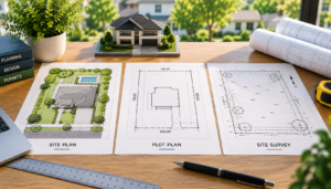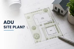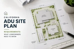
Ordering a site plan becomes much easier when the right property and project information is ready before drafting begins. Understanding the site plan documents needed can reduce delays, prevent avoidable questions, and help the drafter prepare a more accurate representation of the property.
At SitePlan California, we have seen firsthand that missing source information is one of the most common reasons a straightforward project takes longer than expected. You do not need to collect every document ever created for the property. You need the documents that help establish the lot, existing conditions, and proposed work.
What Information Should You Prepare First?
The best starting point is basic property and project information. This gives the drafting team enough context to understand what needs to be shown and what additional information may be required.
Useful starting information includes:
- Property address
- Assessor Parcel Number when available
- Property owner information when required
- Clear description of the proposed project
- Proposed dimensions and location
- Existing plans or surveys when available
Current California jurisdiction checklists commonly ask for information such as the property address, parcel number, property boundaries, existing and proposed structures, setbacks, easements, access, and other relevant site features.
Providing this information at the beginning helps define the drafting scope before work starts.
Why an Existing Survey Can Be Valuable
If you already have a land survey, it can be one of the most useful source documents for site plan drafting. A survey may provide property dimensions, boundary information, easements, monuments, and distances that are difficult to establish reliably from general online mapping.
You do not necessarily need a new survey for every project. If a usable survey already exists and the parcel has not changed, its boundary information may still provide an important foundation.
However, a survey can become outdated in terms of improvements shown on the property. A garage, pool, addition, shed, driveway, or patio may have been constructed after the survey was prepared.
We use the survey for what it reliably establishes while reviewing newer information for current site conditions.
If exact boundary verification is required and no reliable source exists, a licensed land surveyor may need to become involved.
Can You Use an Old Site Plan?
Yes. An old site plan can provide a useful starting point, especially if it clearly shows the property boundaries, house footprint, setbacks, easements, driveway, and accessory structures.
But it should not automatically be reused without review.
Compare it with the property today. Check whether buildings have been added or removed. Look for new pools, sheds, patios, decks, driveway extensions, retaining walls, or other changes.
Contra Costa County’s current residential submittal guidance requires a complete plot plan showing the entire property, setbacks, streets, easements, and the relevant existing and proposed work.
The goal is to prepare a current project drawing, not simply reproduce an old one because it is convenient.
Why Proposed Project Dimensions Matter
Property documents tell us what exists. They do not automatically explain what you want to build.
A homeowner may say, “I want to add a detached garage in the backyard.” That is enough to understand the general idea but not enough to prepare a permit drawing.
We still need to know the proposed width, length, location, and relevant distances.The same applies to an addition, pool, deck, shed, patio cover, or ADU.
Before drafting begins, try to define:
- Proposed width and length
- Intended location
- Whether the structure is attached or detached
- Distance from existing structures when known
- Any known changes that may affect access or site layout
The more clearly the proposed project is defined, the easier it is to show its relationship to the property.
Property Photos Can Fill Important Gaps
Current property photographs are extremely useful because older documents may not reflect what exists today.
Photos can help confirm whether a shed still exists, whether a driveway has changed, whether a patio has been added, or whether another structure should appear on the drawing.
Humboldt County’s current site plan checklist specifically calls for clear site photographs in multiple directions as part of its site information requirements.
For a drafting project, useful photos usually include the part of the property where the new work is planned, nearby structures, access areas, and anything that may not be obvious from existing plans.
Photos are supporting evidence. They should not be used as a replacement for verified boundary information when precise boundaries are required.
Permit Instructions Should Be Sent Before Drafting
If the city or county has provided a project specific checklist, send it before the site plan is prepared.This is one of the easiest ways to prevent unnecessary revisions.
California jurisdictions do not all require identical site information. San Diego’s current site plan guidance, for example, explains that site plans can need property lines, easements, public rights of way, existing and proposed structures, and other project specific information.
San Bruno’s current residential plot plan checklist includes property lines, existing and proposed structures, utility information, paved areas, site hazards, and other required details.
If these requirements are known before drafting, the drawing can be organized around them.If they are discovered after the drawing is complete, additional revisions may be required.
What If You Already Have Permit Corrections?
Send the entire correction notice.Do not send only one screenshot or paraphrase what the reviewer said.
A correction may appear to ask for one dimension but actually be connected to another comment involving a property line, easement, setback, or structural location.The full notice provides context.
At SitePlan California, we prioritize understanding the complete reviewer request before modifying the site plan. This helps prevent a revision that fixes one comment while creating another inconsistency elsewhere.
If the correction involves surveying, engineering, architecture, drainage, or another professional discipline, the appropriate qualified professional may also need to participate.
Real World Scenario: Missing Documents Delayed a Simple Garage Plan
Consider a homeowner ordering a site plan for a detached garage.The owner provides the property address and approximate garage location. The yard appears large, and the project looks simple.
Drafting begins, but there is no reliable property boundary information. The owner later remembers that a survey was completed during a previous home purchase.
When the survey is provided, it shows an easement near the original garage location.The garage now needs to move.
If the survey had been provided at the beginning, the first layout could have been prepared around the easement.
This is why understanding the site plan documents needed before drafting begins can save time.
The document did not make the drawing more complicated. It revealed information that should have influenced the drawing from the beginning.
Do You Need Every Document on This List?
No.A small residential project does not automatically require the same documentation as a large commercial development or complicated hillside property.
Monterey County’s minimum plan check checklist shows that project documentation can vary by scope. It may include site information, grading and drainage plans, floor plans, elevations, structural details, and energy documentation.
The correct documentation depends on the project.
For a straightforward site plan, an existing survey, project dimensions, photos, and permit instructions may provide most of the required information.
Complex projects may require additional documents. I always advise clients to focus on relevance instead of sending the largest possible file package.
What If You Cannot Find Any Existing Plans?
Do not assume the project cannot move forward.Start with the property address and available public information. Previous permit records, assessor information, recorded maps, and other property sources may help establish a starting point.
However, there is a limit to what public information can prove.
San Bruno’s current plot plan guidance explicitly states that general aerial imagery is not acceptable as a substitute for the required plot plan information.
If the project depends on exact boundaries and those boundaries cannot be established from reliable existing information, a survey may be needed.We prefer to identify that limitation early rather than create false certainty from approximate data.
Why Organized Information Makes Drafting Faster
The quality of the starting information directly affects the efficiency of the drafting process.Imagine receiving one email containing the survey, project dimensions, current photos, and permit checklist.
Now compare that with receiving the address on Monday, garage dimensions on Tuesday, an old survey on Thursday, and a correction notice after the first draft.
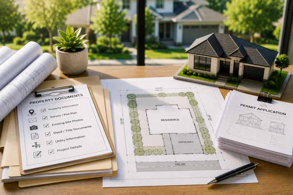
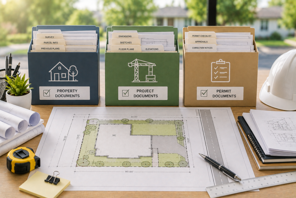
The second project requires information to be reconsidered repeatedly.Before sending your project, organize the most useful information into three groups:
- Property documents such as surveys, parcel information, and previous plans
- Project documents such as dimensions, sketches, architectural plans, and contractor layouts
- Permit documents such as checklists, planning approvals, and correction notices
This simple organization makes it much easier to understand what information belongs to the property and what belongs to the proposed project.
Why Choose Us for California Site Plan Drafting?
At SitePlan California, we focus on reviewing available source information before drafting so the project begins with the strongest practical foundation.
- We review surveys, older site plans, property records, photos, and project information
- We clearly distinguish existing conditions from proposed construction
- We can work with permit instructions and correction notices when available
- We identify missing information that may affect the site drawing
- We explain when surveying, engineering, architecture, or another professional service may be required
Frequently Asked Questions
What is the most important document for a site plan?
There is no single document that fits every project. An existing survey is particularly valuable for boundary information, while proposed dimensions and current property information are essential for showing the new work.
Can I order a site plan if I do not have a survey?
Yes, in some cases. Existing parcel records, previous plans, and other reliable information may be sufficient depending on the project and local requirements.
Should I send old permit drawings?
Yes, if they relate to the property or project. They may provide useful information about existing structures, previous approvals, or property dimensions.
Are property photos required?
Not always, but they can be extremely helpful for confirming current site conditions and identifying improvements not shown on older documents.
Should I send permit corrections before or after the first draft?
Send them before drafting whenever they already exist. The correction notice can directly influence what the revised site plan needs to show.
Conclusion
Understanding the site plan documents needed before ordering your drawing can make the entire process more efficient. Surveys, previous plans, project dimensions, current photos, permit instructions, and correction notices each provide different information. SitePlan California focuses on reviewing the right source material early so the final site plan can reflect the property and proposed project more clearly.