You are ready to plan a backyard garage, deck, shed, or addition, but someone asks for the required setbacks. You search your city plus “rear setback” and see several different numbers. Which one applies to your parcel?
The most reliable answer comes from identifying the official zoning designation, reading the correct municipal standards, and checking exceptions for the structure and property. You cannot safely pick the first number from a search result. Here is a seven-step workflow you can use before investing in detailed drawings.
Step 1: Confirm the property and assessor parcel number
Begin with the full street address, county, and assessor parcel number (APN). A property tax bill or county assessor search typically identifies the APN. This identifier helps you locate the parcel, but it does not itself establish the exact physical corner positions.
A mailing address can suggest a nearby city even when the parcel lies outside incorporated limits. That distinction matters: unincorporated parcels usually fall under county zoning rather than the city’s zoning ordinance. Use the local official boundary or GIS map to confirm which planning department regulates the land.
If multiple lots are involved, note each APN and whether the intended building crosses, combines, or relies on another lot. Lot-line adjustments and historic subdivision patterns can affect setbacks and require professional review.
Step 2: Open the official zoning map
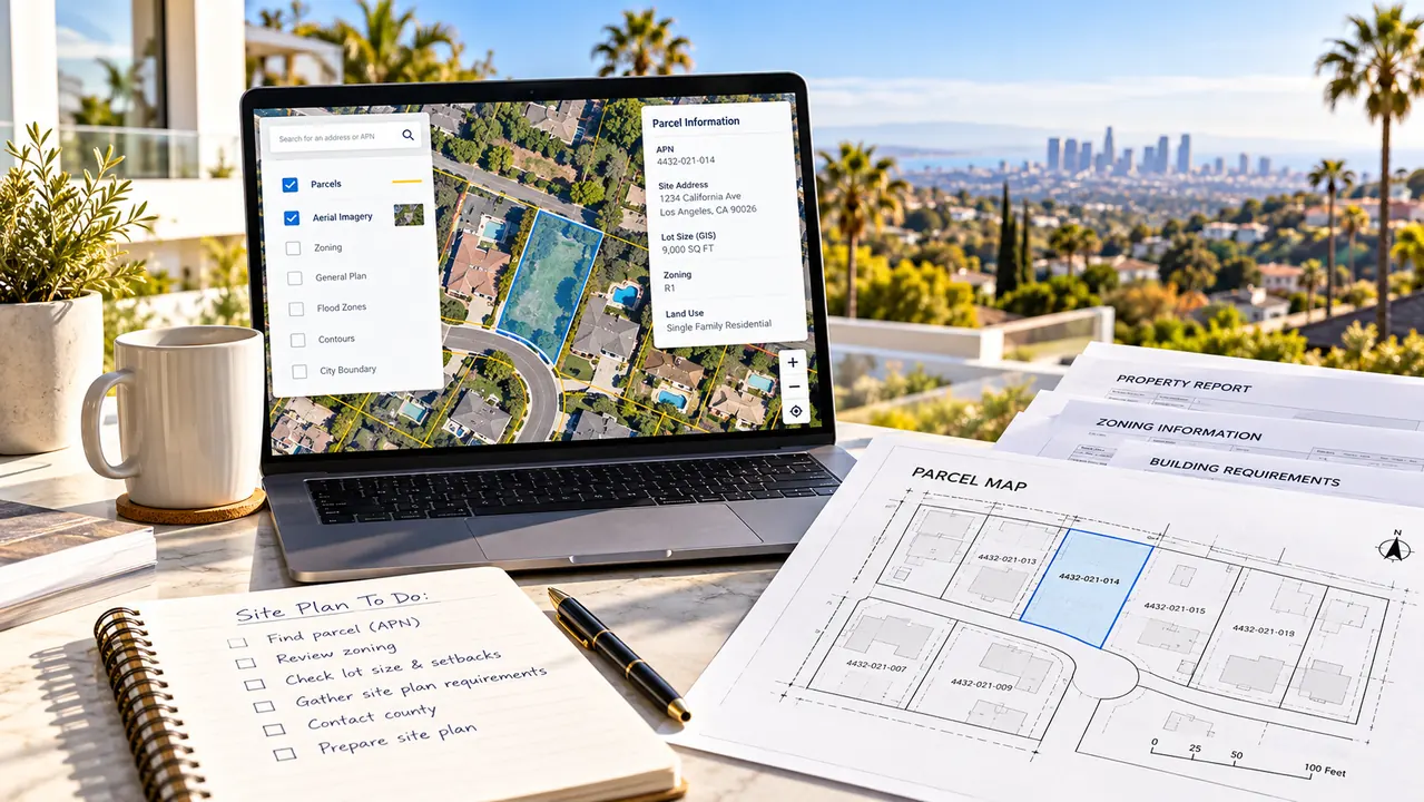
Search the planning department’s official site for “zoning map,” “parcel viewer,” or “GIS zoning.” Enter the address or APN and record the base zoning designation. Do not assume the mapping app is giving you an approved development determination; most viewers are informational and can have disclaimers or updates in progress.
For parcels in the City of Los Angeles, the official ZIMAS zoning search is a useful model. It can identify zoning, planning cases, and overlays. Los Angeles also advises users to identify which of its zoning codes applies, because its zoning regime has been changing by community plan area. A city-specific tool like ZIMAS should not be used for a property governed by another city or county.
Save the parcel report with an access date. A screenshot alone is not enough; capture the ordinance references that explain the site’s actual standards.
Step 3: Read the local zoning district standards
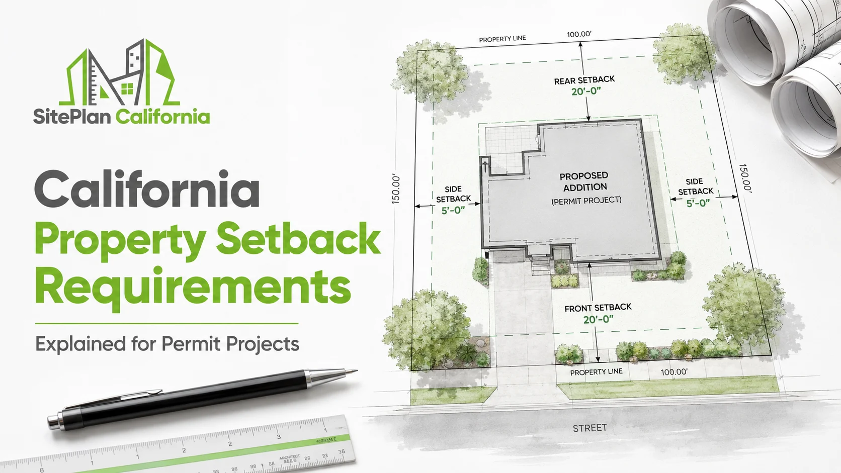
Find the municipal code provision for the confirmed zone. Look for the minimum front, side, and rear yards, maximum coverage, building height, permitted uses, lot dimension exceptions, and accessory-building standards. Pay attention to defined terms: principal building, accessory structure, front lot line, corner lot, projection, and required yard may change the answer.
For example, a general single-family district standard could regulate the main house differently from a detached storage building. A garage addition attached to the main residence may not use the same rule as an independent garage. If the proposed project is an ADU, state housing law may change the applicable setbacks for certain eligible configurations.
When researching online, separate the ordinance text from planning department educational summaries. A summary is useful, but the ordinance and controlling state law govern in case of conflict.
Step 4: Check overlays, street status, and past approvals
Base zoning is only the starting point. Search for historic districts, coastal zones, hillside regulations, wildfire or flood hazard overlays, specific plans, planned developments, and subdivision conditions. Corner lots or lots with alleys may be classified differently from a simple interior lot. Existing variances or planning approvals can also affect what is permitted.
Los Angeles’s official zoning regulations summary specifically warns that summaries do not capture every property-specific requirement. Record all layers or conditions relevant to the proposed footprint. When in doubt, send a written question to the planning counter with an annotated plan showing the specific proposed use and placement.
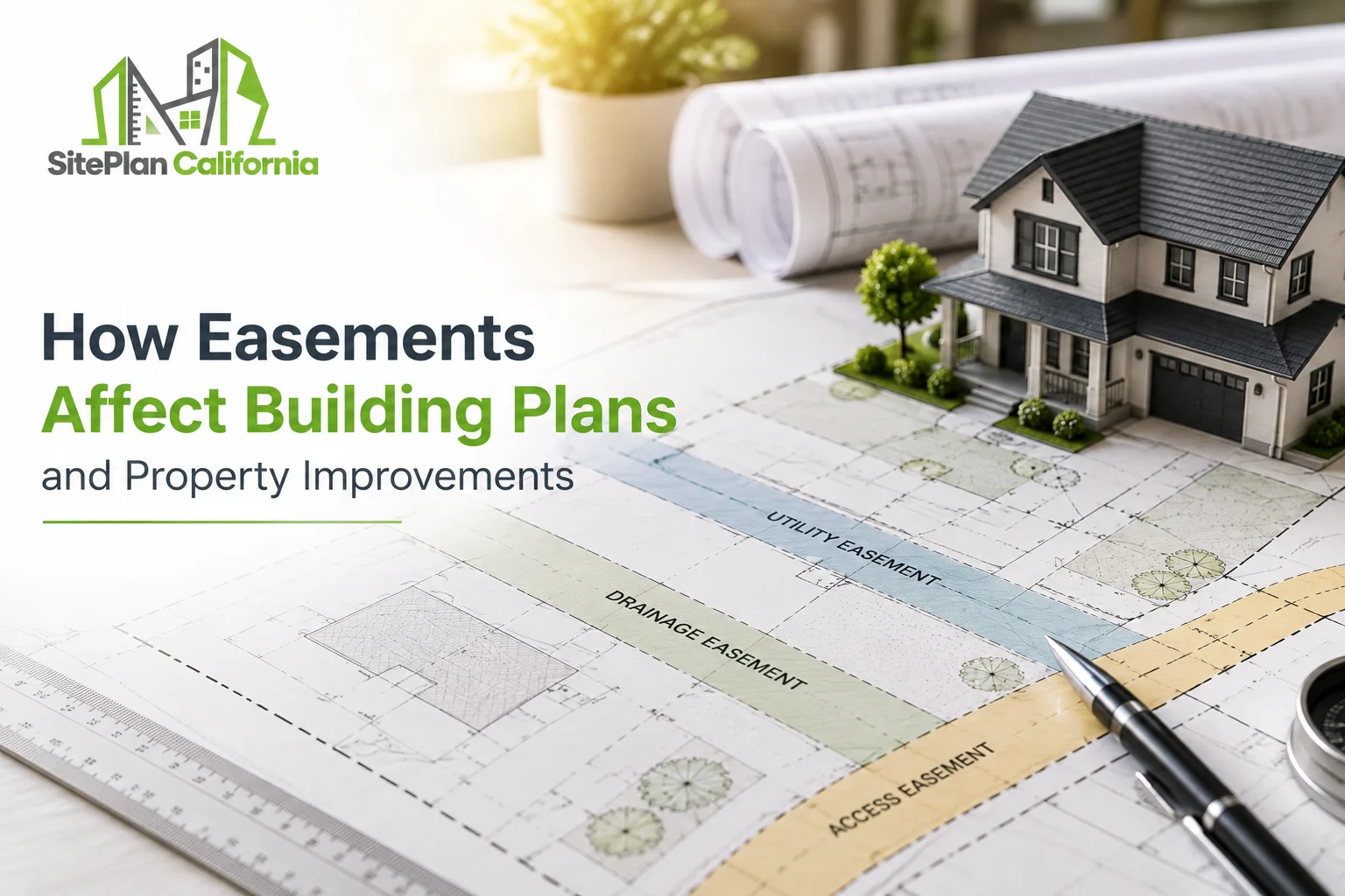
A parcel map might display a street dedication or easement; those features require review in their own right. Never dismiss a recorded easement merely because the proposed building would otherwise meet the zoning yard.
Step 5: Identify the exact proposed structure and use
The question “How close can I build?” has no useful answer until the reviewing office knows what you want to build. Is it a storage shed with no utilities, an accessory garage, a habitable backyard studio, a qualifying ADU, a raised deck, or an attached addition? Each category may have separate standards or permit requirements.
List the approximate width, length, height, number of stories, occupancy/use, roof overhangs, and whether there are plumbing or electrical connections. If a garage will be converted to living space later, do not assume an ordinary garage placement decision will satisfy future ADU requirements. Verify both the current and intended scope.
The California HCD ADU Handbook, updated March 2026, is the official starting point for qualifying ADU rules; a local zoning table alone may not capture all relevant state-law limitations.
Step 6: Determine where the legal property lines are
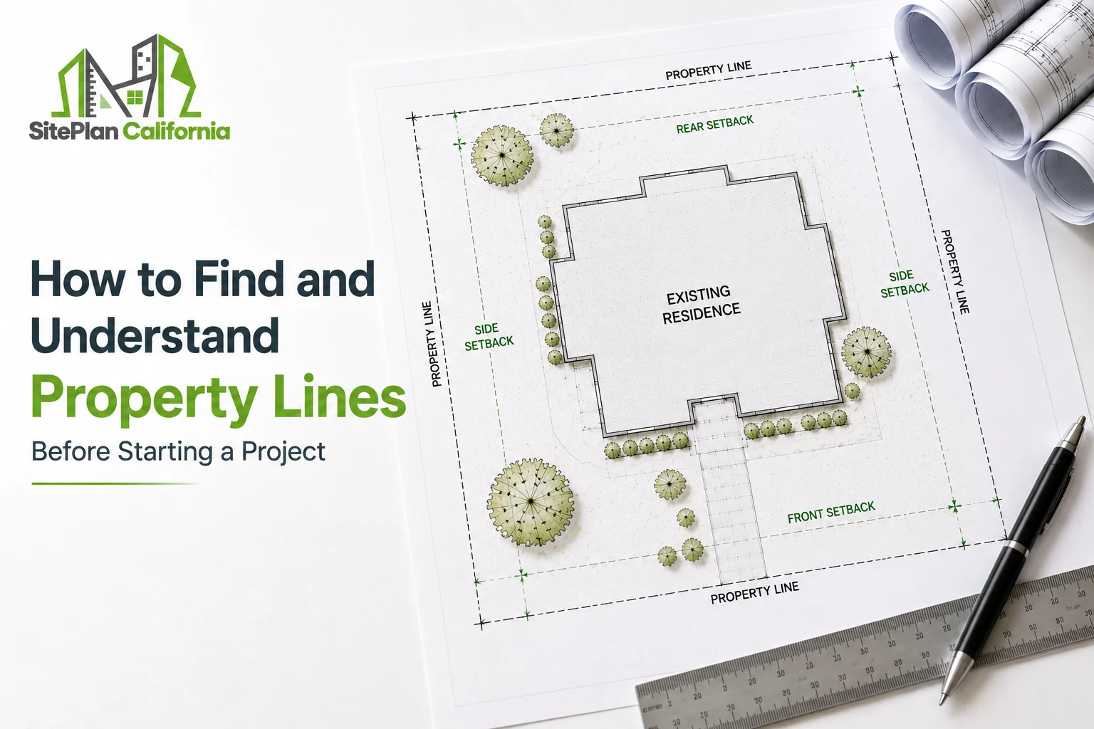
Even the correct setback number is unusable if it is measured from the wrong line. Fences, landscaping, old walls, and aerial boundaries may not coincide with legal lot limits. Search for prior survey work, recorded plats, title documents, and boundary evidence. Where a precise setback location matters, consult a California-licensed land surveyor.
The Board for Professional Engineers, Land Surveyors, and Geologists lists regulated surveying practices and provides a license lookup. Ask a surveyor about boundary verification, locating improvements, or construction staking as appropriate. An architect’s or drafter’s plan based on approximate property lines may be adequate for concept development but not for a high-risk boundary-sensitive permit.
Use the actual ordinance’s setback measurement method. Some rules define measurements from building walls, permitted roof projections, setbacks to an access easement, or distances to established street lines differently.
Step 7: Mark the building envelope and confirm it
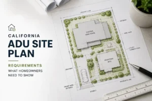
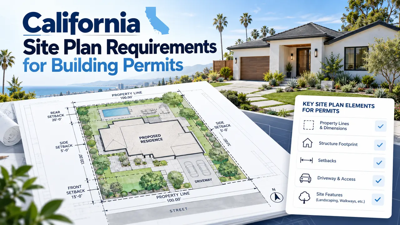
After verifying the rule and boundary basis, draw the setbacks inward from the legally relevant property lines. On a simple rectangular parcel, subtract side setbacks from lot width and front/rear setbacks from lot depth. On irregular parcels, the result may be a complex polygon requiring careful geometry.
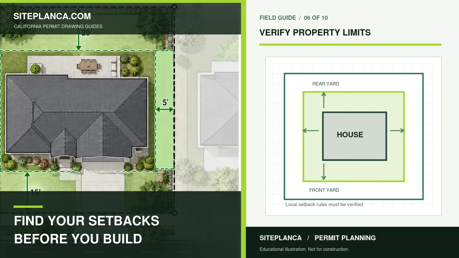
Label the setback lines, proposed footprint, dimensions to controlling references, and known easements. Compare the proposed space with coverage, height, parking, access, fire separation, utilities, and drainage constraints. If an unusual interpretation affects whether the structure fits, obtain clarification in writing from planning staff before ordering final structural plans.
The SitePlanCA zoning and setback lookup tool can support early research. Always verify its results against the actual municipal code and parcel conditions before using them for a permit.
Worked example: choosing a shed location
Imagine an illustrative 55-by-110-foot lot with a proposed 12-by-16-foot storage building. Assume you’ve verified the parcel’s jurisdiction and found that the standards depend on whether the shed is classified as an accessory building. You also discover a recorded drainage easement along one side of the lot.
Start with the permitted location under the accessory-building rules. Then draw the drainage easement separately and check whether construction is restricted there. Show the shed footprint as 192 square feet, the distances from the building to the boundary lines, and any appropriate separation from the existing house.
If the plan places the shed near a fence but the survey is missing, mark the property-line source as unresolved. A change in lot-line location could affect compliance; no amount of precise drafting can substitute for verifying the boundary.
Sample questions to send the planning department
A clear inquiry often gets a clearer answer than “What are the setbacks at my address?” Try: “For parcel [APN] in [zoning district], we propose a detached, nonhabitable 12 × 16-foot shed with a maximum planned height of [height]. Which front, rear, and side yard provisions and accessory-building exceptions apply? Does the property have a specific plan, recorded condition, or street-side yard standard relevant to its proposed rear corner location?”
Attach a simple plan marking where you intend to build, the lot shape, nearest street, and any easement shown in your records. Explain if the proposal is attached, roofed, or has utilities. Ask for the ordinance section or official handout controlling the staff response and keep that correspondence with the design record.
What if the setbacks make the project impossible?
Before abandoning the project, check whether the rule was applied to the correct structure type, lot line, and zoning district. Look for lawful exceptions, alternative orientations, a smaller footprint, or a different permitted placement. Where a variance or discretionary permit is possible, ask about eligibility, cost, evidence, and timing; it should not be assumed to be granted.
For a qualifying ADU, examine the current state-law framework rather than applying general accessory-building setbacks. For a nonhabitable shed, confirm whether special accessory standards permit a location that would not be allowed for the principal residence. A good site plan can compare two feasible layouts without pretending either has already been approved.
Common mistakes in online setback research
One error is confusing zoning setbacks with required distance between structures for fire safety. Another is using one city’s side-yard standards for a property just beyond the city boundary. Others include measuring from a fence, overlooking a street-side yard on a corner lot, relying on superseded code summaries, or failing to account for eaves and stair projections.
Keep the process evidence-based. Label the zoning district, source URL, date checked, and applicable project classification. If a client changes the structure from a shed to an ADU, redo the regulatory analysis. An old “setbacks verified” note should not carry over unchanged to a fundamentally different project.
Frequently asked questions
Is there a free California-wide setback database?
Many local authorities publish free maps and zoning ordinances, but the legal answer often requires reading several linked rules and verifying parcel details. No statewide lookup should be assumed to replace local review.
Does the assessor’s map show the required setback?
An assessor map commonly shows parcel outlines for assessment purposes, not the zoning envelope or a field-verified legal boundary survey.
Can I use the same setbacks for a shed and an ADU?
Not safely. The classification and the applicable state and local requirements may differ, and some ADU rules are specifically prescribed by state law.
What if the existing house sits within a required yard?
Existing nonconforming structures can involve separate rules. Whether an addition is allowed depends on the lawful status and jurisdiction’s standards; don’t assume the existing condition authorizes expansion.
Should I order architectural plans before checking setbacks?
A schematic layout is fine, but final structural and architectural detailing is usually more efficient after placement feasibility is verified.
Your pre-design checklist
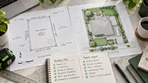
Record the parcel/APN; city versus county; zoning district; proposed use and size; front/side/rear standards; overlay and specific plan; easements; boundary evidence; roof projections; and any planning interpretation. Keep the research with the drawings so the next person can trace each number to its source.
Need a site-plan drawing that reflects this information? SitePlanCA can help organize a proposed layout, source notes, and setbacks for your building permit. Send your address, survey, sketch, and official zoning references. Drafting is not a boundary survey or guaranteed zoning determination.
Related: California setback requirements · Garage plans · Setback lookup tool.
Official sources: LA ZIMAS Zoning Search · LA Zoning Summary · HCD ADU Handbook · BPELSG License Lookup.