- GRADING & DRAINAGE SITE PLAN DRAFTING
Grading & Drainage Site Plans for California Properties
Changes to grade and drainage can affect far more than the appearance of a property. Excavation, fill, slope changes, new hardscape, additions, pools, driveways, retaining conditions, and other improvements can alter how water moves across the site and how the property relates to neighboring land or public improvements.
SitePlan California provides grading and drainage site-plan drafting for California projects when the necessary property and design information is available — supporting homeowners, contractors, builders, architects, developers, permit expediters, and engineering teams that need clear CAD documentation of proposed grades, drainage direction, and related project information.
- 10+ years of experience
- California statewide
- Permit-focused support
- Professional CAD drafting
Property-Specific
Plans are built around the actual grading project and property provided.
Permit-Focused
Existing and proposed conditions are organized for review and coordination.
Statewide
Remote drafting support for grading projects throughout California.
Revision Support
Applicable drafting corrections can be addressed within the agreed scope.
- WHAT IS A GRADING & DRAINAGE SITE PLAN?
A Drawing of How the Ground Surface Relates to the Project
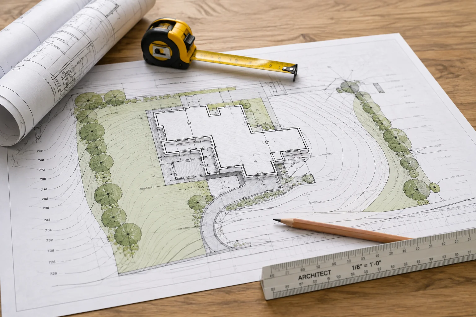
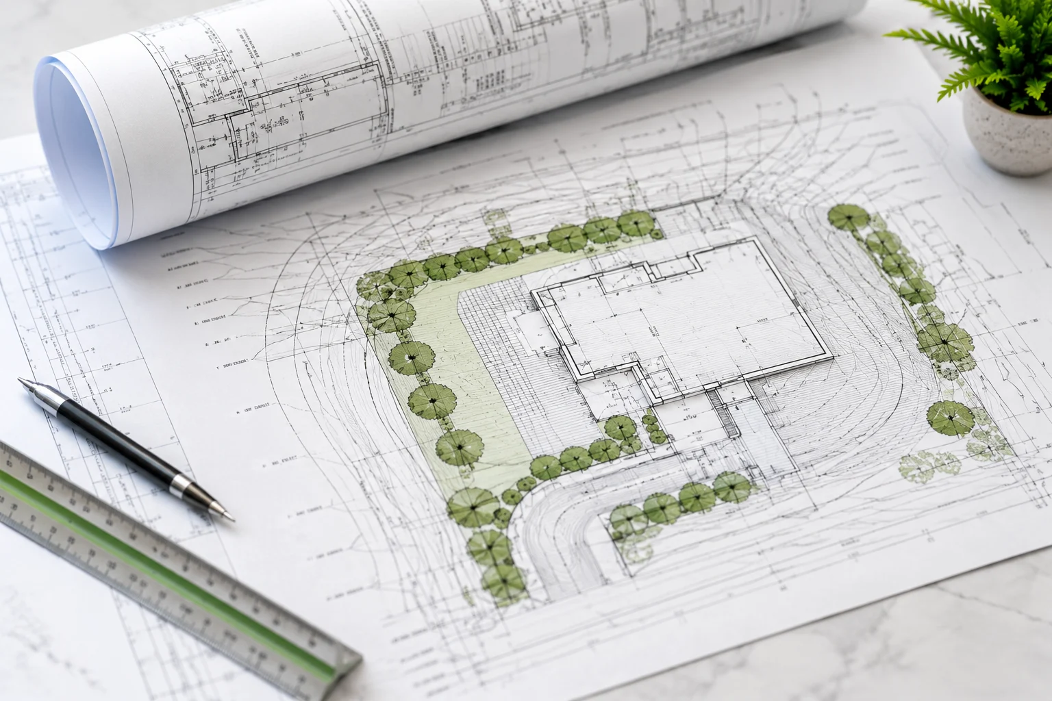
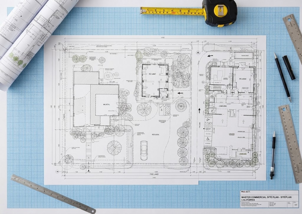
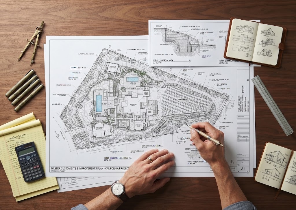
A grading and drainage site plan documents how the ground surface and water-flow conditions relate to the proposed project. Depending on scope, the plan may show existing and proposed elevations, slope direction, drainage arrows, finished-floor information supplied by the project team, hardscape, retaining conditions, swales, drains, and other site elements.
The drawing can be used to communicate a design developed by an engineer or other qualified professional, or to organize available property information for a project that requires a more detailed permit review.
Requirements vary significantly by jurisdiction and project type. San Diego County, for example, describes a grading permit as a permit for moving earth material through excavation, fill, or a combination of the two — its grading ordinance addresses slope design, setbacks, drainage, erosion prevention, and planting requirements. Local standards elsewhere differ.
- WHAT THE PLAN MAY INCLUDE
Contents Based on the Actual Project and Available Design
The contents should be based on the actual project and the design information available — not a generic template applied to every site.
01
Property Boundaries
Boundaries from appropriate source information.

02
Building Footprints
Existing and proposed building footprints.
03
Spot Elevations
Existing and proposed spot elevations supplied by the project team.
04
Slope Direction & Drainage Arrows
Documented from the available design and elevation information.
05
Swales, Drains & Retaining Conditions
Shown when designed or provided by the project team.
06
Driveways & Hardscape
Pools, patios, additions, and accessory structures where relevant.
07
Limits of Grading
Cut and fill information when provided.
08
Easements & Utilities
Known easements and utility locations documented when available.
09
North Arrow, Scale & Notes
Project notes, dimensions, and erosion-control notes within scope.
- GRADING FOR ADDITIONS, ADUs, POOLS & DRIVEWAYS
Coordinated With the Rest of the Project
Grading and drainage often become relevant because of another construction project. Here is how we approach the connection.
Additions & ADUs
A home addition may change roof drainage and hardscape. A detached ADU may require pad grading. The site plan should coordinate these improvements instead of treating grade as an isolated background condition.
Pools & Driveways
A new pool involves excavation and can change the backyard drainage pattern. A driveway can create new runoff paths or grade transitions — both should be reflected in a coordinated grading and drainage plan.
Engineer-Provided Grading
Where engineered grading is required, we can draft from the civil engineer’s design or coordinate the site-plan base with the engineer’s plans.
Simple, Non-Engineered Diagrams
If the project is simple and the jurisdiction accepts a non-engineered site diagram, the exact drafting scope should still be established from the local requirements rather than assumed.
- WHEN GRADING PERMITS MAY BE REQUIRED
Exempt Doesn't Mean No Requirements Apply
Grading permits are generally associated with earth movement, but the exact thresholds and exemptions are established locally. A relatively small residential project may be exempt from a formal grading permit in one jurisdiction while still needing to comply with grading, slope, drainage, erosion, or building-code requirements.
This is why a property owner should not treat “permit exempt” as meaning “no technical requirements apply.” The site conditions and local ordinance still matter.
Local example:
San Diego County explicitly notes that work exempt from a grading permit must still comply with its grading ordinance requirements. The City of San Diego also maintains dedicated grading-permit and private-grading procedures. These are local examples, not a statewide rule.
- DRAINAGE DIRECTION & WATER MANAGEMENT
Documenting Design, Not Inventing It
Drainage arrows on a drawing can look simple, but they imply how water is intended to move. That makes it important not to invent drainage design without appropriate information — a site plan can document slopes and drainage features provided by the project team, survey, engineer, or reliable field information.
More complicated drainage systems may require calculations, hydrology, stormwater design, or civil engineering. The California State Water Resources Control Board also regulates stormwater from certain construction activity at the state level — larger or qualifying projects may need separate stormwater compliance beyond the local grading plan.
- TOPOGRAPHIC SURVEYS & ELEVATIONS
A Reliable Plan Depends on Reliable Elevation Data
Topographic surveys can provide ground elevations, contours, structures, and other site data that are difficult to establish accurately from aerial images or basic parcel records. General drafting can organize topographic information but does not create a professional topographic survey unless that work is performed by an appropriately licensed professional.
If a project is located on a hillside, near retaining walls, or in an area where small elevation differences affect drainage, obtaining proper survey and engineering information early can prevent repeated redesign.
- Existing and proposed grades are not distinguished
- Drainage direction conflicts with spot elevations
- Finished-floor elevation differs across sheets
- Retaining walls are omitted or inconsistently located
- Limits of grading are unclear
- Hardscape or driveway grades do not coordinate
- Required engineering or geotechnical documents are missing
- Survey information is insufficient for the proposed design
- OUR PROCESS
From Purpose to a Coordinated Grading & Drainage Plan
Step 1
Identify Purpose & Design Source
We identify the purpose of the plan and who is responsible for the grading and drainage design. An engineer's or surveyor's plans become the primary technical source when involved.
Step 2
Prepare the Property Base
The property base is prepared or updated, and relevant elevation, slope, drainage, retaining, and project information is incorporated from the supplied design.
Step 3
Coordinate With Other Sheets
The draft is coordinated with architectural or other site drawings where possible to keep the permit set internally consistent.
Step 4
Review, Revisions & Delivery
You review the drawing, applicable drafting corrections are made, and final files are delivered — engineering or survey comments stay with the appropriate professional.
- COORDINATION WITH THE BUILDING PERMIT SET
Grading Information Shouldn't Exist in Isolation
Finished-floor elevations, driveway slopes, retaining walls, pool elevations, building pads, and drainage paths can affect multiple sheets. If one drawing shows a building at a different elevation from another, the permit reviewer may request clarification before the project can proceed.
A
Engineer-Approved Source
Where an engineer is responsible for grading, their approved information is the technical source.
B
Simple Residential Exhibits
Coordinated with building footprint, hardscape, and access even for simpler jurisdictions.
C
Revision Control
Changed elevations or wall locations checked across related sheets.
D
Internal Consistency
Final permit set kept consistent as updates occur.
E
Clear CAD Base
Makes updates easier while design responsibility stays with the project professional.
F
Multi-Sheet Coordination
Grading tied to architectural, civil, and structural drawings.
- GET A FREE QUOTE
Tell Us About Your Grading or Drainage Project
Describe the project and tell us whether a civil engineer, surveyor, architect, or geotechnical consultant is already involved. Attach all available grading, elevation, drainage, and property information.
10+ Years
ADU & JADU drafting experience
California
Statewide project support
Engineer- Coordinated
Flexible project capability
- GRADING & DRAINAGE SITE PLAN DRAFTING
Request Your Grading & Drainage Site Plan Quote
- DELIVERABLES & SCOPE BOUNDARIES
What You Can Expect From the Drafting Scope
A typical drafting scope may include a grading and drainage site plan, existing and proposed elevations supplied by the project team, drainage arrows, retaining or hardscape relationships, limits of work, notes, and PDF/CAD deliverables.
Civil engineering, hydrology, stormwater calculations, geotechnical analysis, professional topographic surveying, retaining-wall structural design, and stamped grading plans are separate where required. We can coordinate with those professionals and draft from their approved design information.
- GRADING & DRAINAGE SITE PLAN FAQS
Common Questions About California Grading & Drainage Plans
What is a grading site plan?
It is a property drawing that documents grading-related site information such as existing and proposed elevations, slopes, drainage direction, retaining conditions, and limits of work, depending on the project scope.
Do I need a grading permit?
The answer depends on the local jurisdiction, amount and type of earth movement, property conditions, and exemptions. Even exempt work may still need to comply with grading and drainage requirements.
Can you design the drainage system?
We can draft drainage information supplied or designed by the project team. Engineering, hydrology, or stormwater design may require a licensed civil engineer or other qualified professional.
Do I need a topographic survey?
Many grading projects benefit from or require reliable elevation information. Complex slopes, retaining conditions, and drainage-sensitive sites may require a professional topographic survey.
Can you show drainage arrows?
Yes, when drainage directions are supported by the available design and elevation information.
Can you show spot elevations?
Yes. Existing and proposed spot elevations can be drafted when they are supplied from an appropriate source.
Can you work from a civil engineer's markups?
Yes. Drafting from an engineer’s design information is a common and appropriate workflow.
Do you provide hydrology calculations?
No. Hydrology and other engineering calculations are separate professional services unless specifically provided by an appropriate engineer.
Can you revise grading plans after permit comments?
Applicable drafting comments can be incorporated. Comments requiring new engineering, geotechnical analysis, survey data, or calculations should be addressed by the responsible professional.
Do you provide grading and drainage drafting statewide?
Yes. We provide remote drafting throughout California, while the local jurisdiction controls grading-permit requirements and project-specific standards.
- Start Your Permit Site Plan
Start Your California Grading & Drainage Site Plan
Send the property address, a short description of the project, and any drawings, surveys, photos, markups, permit comments, or other information you already have. We will review the available information and help define an appropriate site-plan drafting scope.