Tell us about the property
Your address and project details establish the context.

Calculate roof, pavement, removal and remaining pervious area from measurements you supply. Local zoning and stormwater rules determine which surfaces count.
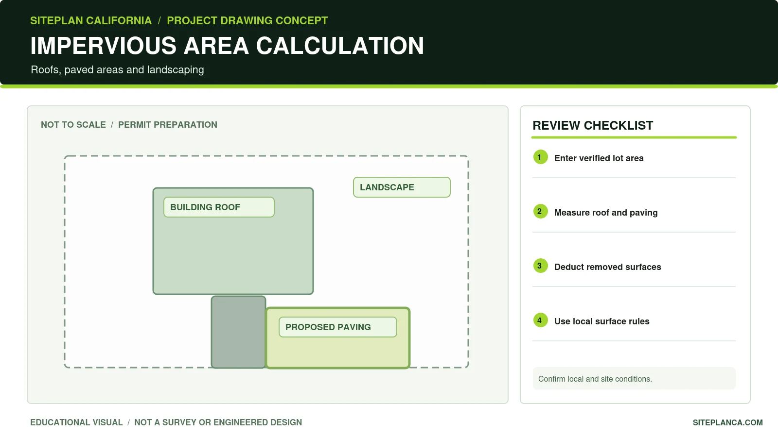
Enter measured roofs, paving and any removed areas. The remaining pervious area is mathematical only; local rules determine whether each surface is counted.
Example: Example: 6,000-square-foot lot with 1,500 square feet roof, 800 paving, 100 other; 240 new roof and 200 paving; remove 100.
Run the tool for an instant preview. Your complete analysis is prepared at the same time and emailed after the report form is submitted.
Checking the inputs, project logic and available source context.
The complete report includes the full checklist, source links, unresolved items, calculations or rule findings, and recommended next actions.
A copy has also been sent to your email.
Your address and project details establish the context.
Project-specific rules and calculations evaluate the inputs.
Official building and planning sources appear when available.
Preview the result instantly, then email the full analysis to yourself.
Impervious coverage considers surfaces that the local ordinance treats as impervious, which may include roofs, conventional paving, concrete or other materials. Building coverage is a separate zoning calculation commonly focused on structures and their footprints. The two figures are not interchangeable. This tool totals only the surfaces you classify as counted impervious area.
Enter existing counted roof, paving and other surfaces separately. Proposed roof and paving increases are added, while areas being removed are subtracted exactly once. Removed impervious area must not exceed the current counted total. Label material types and the actual measured areas in the drawing, taking care not to count an area twice.
Remaining pervious area equals lot area minus total counted impervious area. This arithmetic does not establish infiltration capacity or guarantee landscape compliance. Gravel, grasscrete or permeable paving may be classified differently by a specific California city or county. Enter those surfaces under the treatment accepted by the reviewing agency.
If a city or county provides an impervious-surface limit for your property, you can enter that percentage for a conditional comparison. The report shows remaining area allowance or the amount over that entered limit. There is no statewide default used in this tool. Verify the appropriate zoning or drainage ordinance before drawing a permitting conclusion.
A permit site plan can include a schedule showing lot area, existing roof and paving areas, proposed new areas, removed paving, final counted impervious area and remaining landscaped/pervious area. A reviewer should be able to trace each area to an outlined and labeled surface on the drawing.
Changing site paving may alter runoff or low points. Surface coverage alone does not establish that drainage is controlled. A grading plan, swale section, drainage computation or legal discharge review may be necessary depending on site conditions. This calculator does not size drainage pipes, determine retention capacity or engineer a proposed stormwater system.
Use the correct parcel area, measured improvement dimensions and the local definition of imperviousness. Parcel GIS can help initial research but may not provide surveyed precision. This tool does not verify property lines, easements, lot restrictions, or agency approval. Ask for a site-plan review if the dimensions or classifications are uncertain.
These answers explain how to interpret the tool and when local or professional verification still matters.
Existing counted roof plus existing counted paving plus other existing counted surfaces, plus new roof and paving, minus removed counted surfaces. Divide the result by lot area and multiply by 100 for percent.
Not automatically. Classification depends on local ordinance and approved installation system.
No. Building lot coverage and impervious coverage can include different surfaces.
Yes. The comparison uses only the verified limit you enter. No statewide maximum is assumed.
The calculator rejects inconsistent dimensions or removal totals and asks you to correct the inputs.
Yes, when the figures and surface definitions are verified, a matching area table can be incorporated into the site plan.
No. Hydrology, discharge and engineering design are separate.