A homeowner hears the same request in several forms: “Please provide a site plan,” “Upload a plot plan,” or “Show the proposed improvement on a scaled drawing.” The request sounds simple until you search your files and discover a parcel map, a real-estate listing, and a hand-drawn sketch—but no document labeled site plan.
The quickest solution is not always to order a new drawing. First ask the local agency what it needs, look for an existing approved plan, and evaluate whether that plan still describes the property. If the old document is incomplete, outdated, or unsuitable for your proposed work, a new site plan can be prepared from reliable property information. Here’s how to make that decision without paying for the wrong service.
First, know which kind of site plan you need
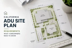
A permit site plan is a top-down drawing showing how a specific project fits on the parcel. Its purpose is to let reviewers see the existing site and the proposed change together. A site plan for a small patio may be straightforward. An ADU on a sloping parcel could need grading, utilities, drainage, fire access, and additional specialist documentation.
Before looking for a drawing, write one clear sentence describing the project: “We propose a detached 20-foot by 24-foot garage behind our existing house,” for example. Add the city or county, address, and whether the structure already exists. This tells the plan counter which checklist applies.
Do not confuse three different documents: an assessor parcel map helps identify parcels; a property survey can establish or retrace boundaries through a qualified professional; a site plan communicates site conditions and proposed construction. Depending on the project, a site plan may rely on a survey, but it does not become a survey merely because it is drawn in CAD.
Option 1: Request the original plan from your city or county
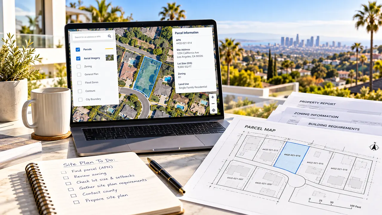
If previous owners built an addition, pool, garage, or ADU under a permit, the building department may have drawings in its records. Search the jurisdiction’s permit portal by property address, assessor parcel number (APN), or permit number. If no online record appears, ask the records counter how to request archived permits and approved plans. Records availability and copying restrictions differ among jurisdictions.
When a clerk locates a file, request the approved site plan—not just the permit card or inspection history. An inspection card may prove a permit existed but usually does not show the setback dimensions you need today. Ask whether record copies have any limitations on reuse and whether the agency accepts an existing sheet with proposed work annotated.
An old approved drawing is useful evidence, not an assurance that a new permit will be approved. A garage may have been demolished, a fence relocated, or a setback standard amended since the plan was drawn. Compare every visible structure and major dimension with present conditions before reusing the document.
Option 2: Check purchase, title, and contractor records
Your real-estate closing package may contain a survey, improvement location diagram, plot plan, or subdivision exhibit. Search the documents from the title company, escrow agent, seller, and home inspector. Your contractor or architect might also have a DWG, PDF, or set of stamped plans from prior work. A homeowners association may have approved plot exhibits, though HOA approval is not a substitute for government review.
If a document says “not a boundary survey,” take that qualification seriously. Property records and map layers can be useful starting points while still being insufficient to confirm a critical property-line location. Contact a California-licensed land surveyor when a building location depends on a precise boundary or encroachment determination; California’s licensing board provides a public verification tool.
Record drawings can save drafting time because dimensions and existing footprints may already be known. They are particularly valuable when accompanied by a recent survey, clear property photographs, and measurements of the proposed improvement.
Option 3: Have a new site plan prepared
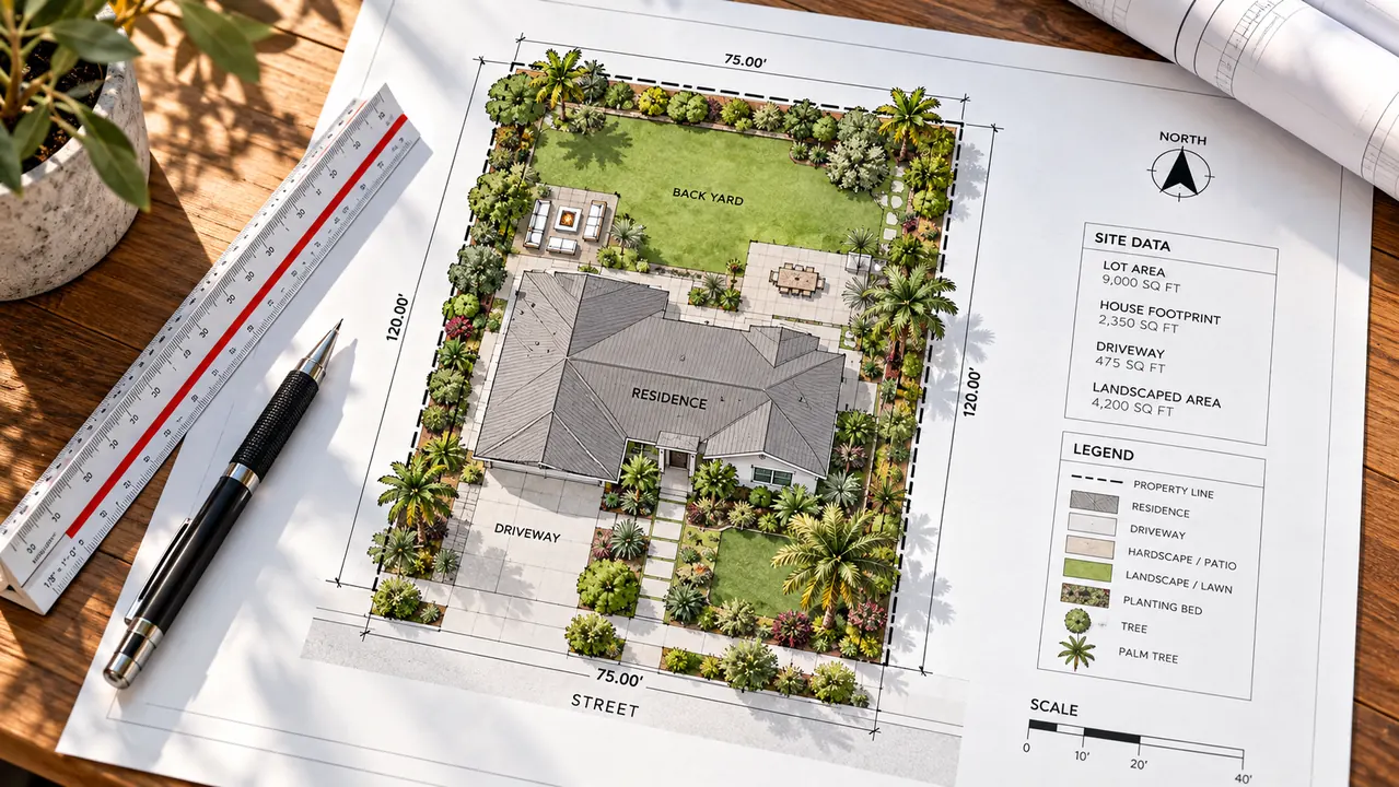
A new plan is generally the practical route when no usable drawing exists, the existing site changed, or the permitting office specifies a newer format. Begin by collecting the official submission checklist. A professional drafter can then prepare the site layout from supplied records and measurements, with surveying or engineered analyses obtained separately when required.
Ask the provider to identify which facts will be taken from a survey, public records, owner measurements, and field verification. A credible proposal does not silently convert approximate aerial imagery into certified dimensions. It explains any assumptions and warns you when property-line uncertainty could invalidate the layout.
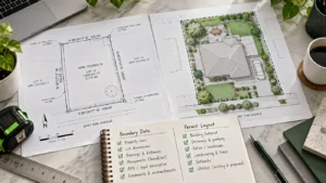
Send this intake package: property address and APN; municipality or unincorporated county; proposal in one paragraph; footprint dimensions and use; available survey or plot plan; photos showing the site and boundaries; any city correction letter; and desired output format. A marked aerial screenshot is helpful to communicate where you want the improvement, but not to establish exact coordinates.
What should appear on a permit site plan?
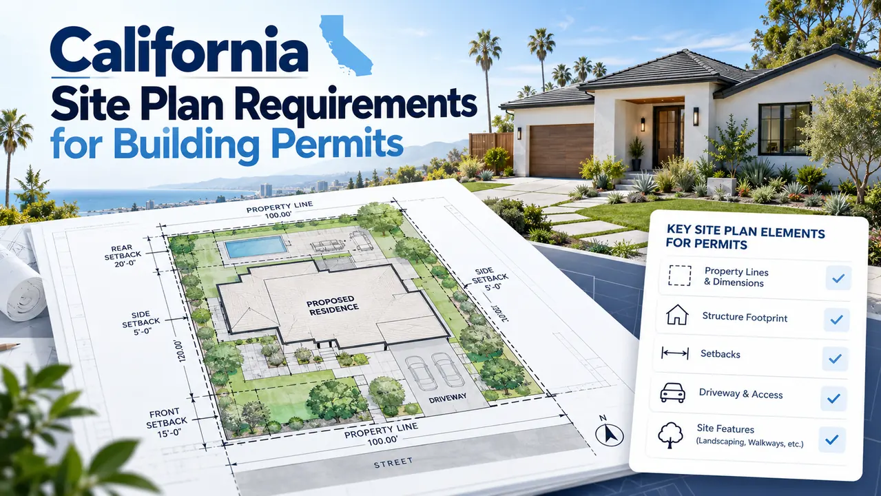
The answer comes from the reviewing city or county. As a practical starting point, expect to discuss the parcel outline, lot dimensions, street access, north arrow, scale, property address, existing structures, proposed work, distance to property lines, distance between buildings, and labeled easements. Some applications also request site coverage, driveways, hardscape, drainage patterns, contours, utilities, trees, or fire access.
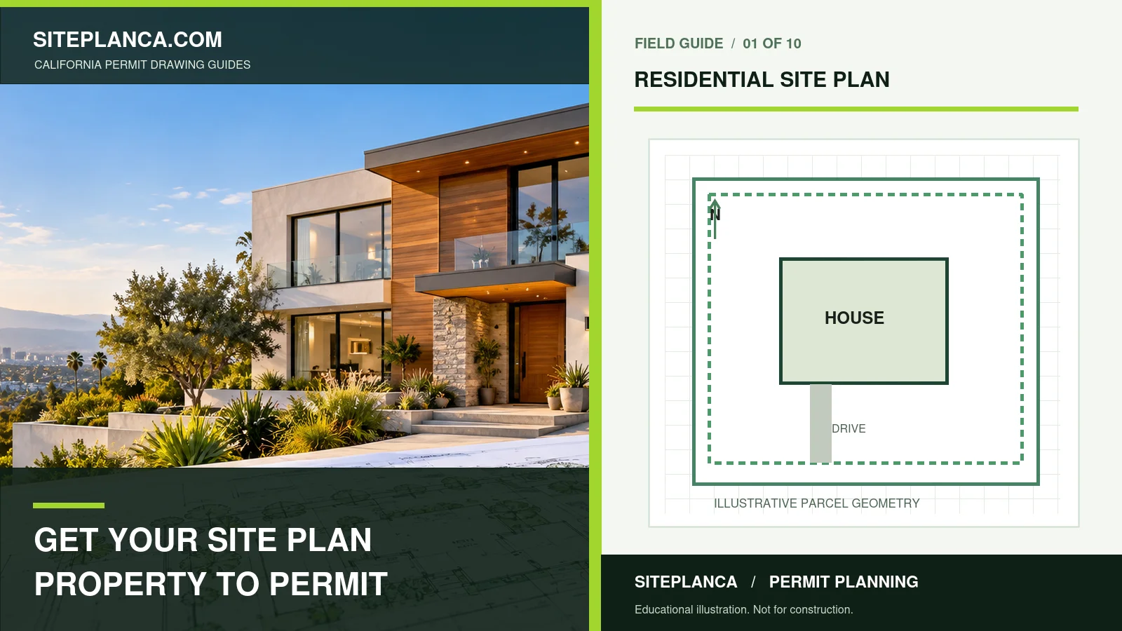
For a strong real-world example of how requirements can vary, San Francisco’s site-permit instructions call for separate existing and proposed site plans where exterior alterations or new construction are proposed. The guidance also specifies property information, adjacent lots, right-of-way, setbacks for applicable work, and other review details. Those San Francisco instructions should not be treated as a universal standard for every city.
Source: San Francisco — Prepare Your Plans for a Site Permit.
Worked example: a backyard storage shed
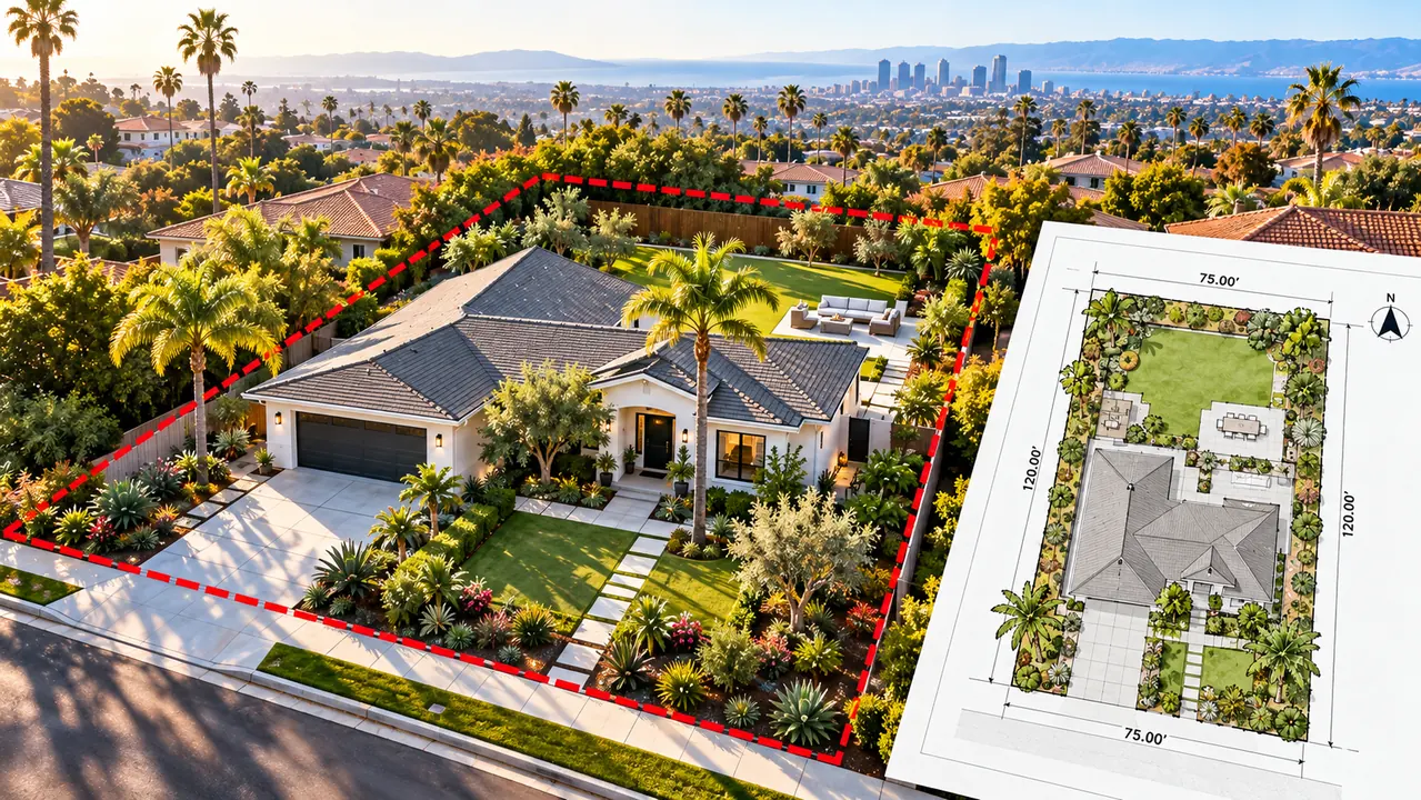
Imagine an illustrative 60-by-100-foot parcel with an existing house and a proposed 12-by-16-foot detached shed. The area of the proposed footprint is 192 square feet (12 × 16), while the mathematical parcel area is 6,000 square feet (60 × 100). These are hypothetical dimensions, not a property survey or local code allowance.
The basic plan should show the existing home, shed location, side and rear property lines, and measured distances between the shed and those boundaries. It should also identify a nearby utility easement if one exists. Before drawing the shed inside a presumed allowable corner, check whether the structure’s classification, height, utilities, and local zoning change setbacks or permit requirements.
A preliminary site plan can help locate likely problems. It cannot settle an uncertain lot line or replace building plans that a jurisdiction may require for foundations, anchorage, framing, or electrical work.
How to find the correct permitting jurisdiction
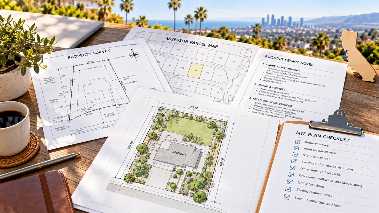
A mailing address is not conclusive proof that the property is inside that named city. A residence using a city postal address can still lie in unincorporated county territory. Confirm the municipal boundary using an official parcel or GIS lookup, then call the building department for construction review and the planning department for land-use rules. Where work involves the street or utilities, public works or an outside district may also review.
California’s Contractors State License Board links to city and county building departments and emphasizes checking with the applicable local agency. Use that directory to find the correct counter instead of relying on a general internet summary.
Source: CSLB — Do I Need a Building Permit?.
What California code applies in 2026?
California’s 2025 Building Standards Code (Title 24) generally became effective January 1, 2026. It addresses building safety and related technical standards, while zoning setbacks, permitted uses, lot coverage definitions, and many submission procedures originate in local ordinances or other applicable state laws. Projects filed in an earlier code cycle may involve transition questions that only the authority having jurisdiction can resolve.
This separation matters. A homeowner may have a technically complete site plan and still propose a structure prohibited by the zoning district. Conversely, zoning staff may support the location while building reviewers request engineered drawings or other documents. Always check both tracks.
Source: California Building Standards Commission — Current Codes.
How long does it take, and what drives the price?
Drafting effort is usually driven less by the lot’s size than by the quality of existing information and the difficulty of the site. A flat, regularly shaped parcel with a reliable survey is easier to draft than a steep parcel with competing map measurements, utility easements, an unpermitted addition, or multiple proposed buildings.
Request an itemized quote for a site plan rather than an unexplained package price. Confirm whether the deliverable includes existing and proposed sheets, a coverage table, PDF and DWG files, drafting corrections, field measurement, boundary surveying, civil design, or professional seals. Those are different services and should not be implied by the words “permit-ready.”
If you are gathering pricing, see the related guide on California site plan costs and compare a provider’s actual scope before deciding.
Five warning signs that the plan is not ready
- The property lines come solely from an aerial image. Imagery can help explain the layout, but may not establish an exact boundary.
- The proposed structure lacks dimensions. A reviewer should not have to measure a screenshot with a ruler.
- Existing and new work look identical. Use an unambiguous labeling convention and separate drawings if the jurisdiction wants them.
- The setbacks are copied from another city. Verify zoning on the actual parcel, including corner-lot or overlay rules.
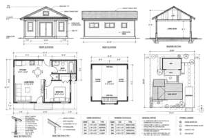
- The site plan conflicts with other sheets. A garage shown as 20 × 24 feet on the site plan must not become 22 × 24 feet in the architectural elevations.
These errors can trigger corrections even where the underlying project is permissible. A final internal drawing check should compare address, APN, measurements, proposed use, and all key dimensions against the application.
Questions homeowners ask
Can I get a site plan from the county assessor?
You may obtain a parcel map or property details, but those records are not necessarily a permit-ready plan and should not automatically be treated as a boundary survey. Ask the building department what drawing it accepts.
Will Google Maps or satellite images work?
They can help identify buildings and approximate context, but their apparent boundary placement and scale may be unsuitable for permit dimensions. Use them as a marked reference unless the agency explicitly approves a particular method.
Does every site plan need a professional engineer’s stamp?
No single answer applies to every project. Whether the jurisdiction needs licensed architecture, engineering, land surveying, or other professional work depends on the task and applicable law. A drafting service should not promise a professional seal without actual professional review.
Can I reuse a site plan from a previous permit?
Possibly. Verify that it matches current conditions and that the agency permits reuse for the proposed application. Any change should be accurately shown and documented.
What if I only have a rough sketch?
A sketch can communicate your intent to a designer. Supply reliable parcel information and actual measurements before assuming it can be converted into an approvable site plan.
Next step: get the right drawing, not simply another drawing
Before requesting quotes, ask your building department which site-plan sheet or checklist applies. Search past permits and closing documents, identify any boundary uncertainty, and assemble a small project packet. This approach often avoids ordering both an unnecessary survey and an insufficient drawing.
Need a California site-plan drawing? SitePlanCA’s site-plan services can help turn available records and your project dimensions into a clearly organized drawing scope. Tell the team your property address, proposed work, and any agency comments; ask for written confirmation of what’s included. Surveying, engineering, professional seals, and city approval should be separately confirmed where needed.
Related reading: Site plan requirements · Survey vs. site plan · Property setback guide.
Official sources: CBSC Current Codes · California CSLB permit guidance · California surveyor/engineer license lookup · SF Site Permit Plan Guidance.