Tell us about the property
Your address and project details establish the context.

Convert dimensions between a scaled paper site plan and actual property distances. See how reduced printing changes the effective plotted scale.
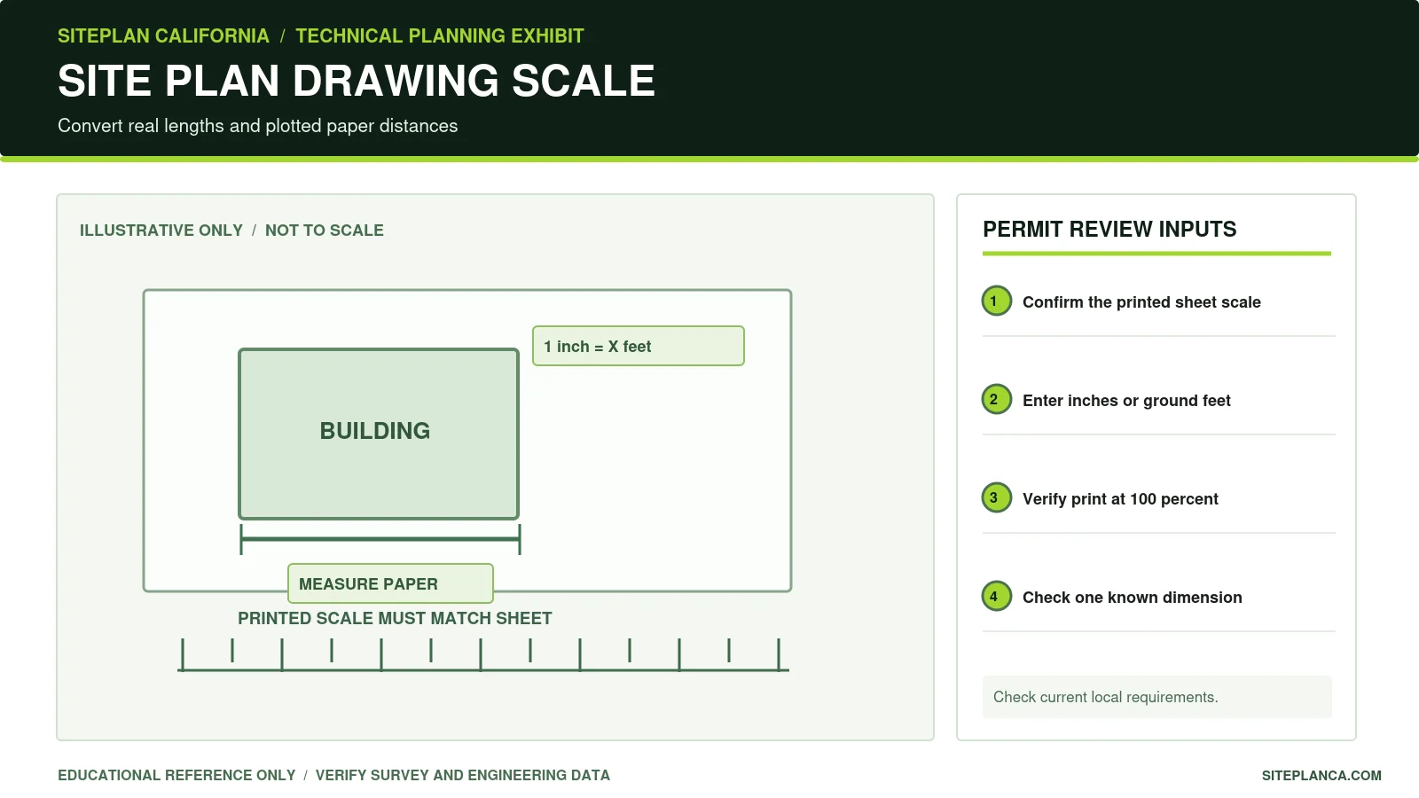
Use a labeled drawing scale and a known printed sheet percentage. Paper inches are not screen pixels, and PDF Fit to Page often changes the scale.
Example: At 1 inch = 20 feet, 2.50 inches printed at 100 percent represents 50 feet on site.
Run the tool for an instant preview. Your complete analysis is prepared at the same time and emailed after the report form is submitted.
Checking the inputs, project logic and available source context.
The complete report includes the full checklist, source links, unresolved items, calculations or rule findings, and recommended next actions.
A copy has also been sent to your email.
Your address and project details establish the context.
Project-specific rules and calculations evaluate the inputs.
Official building and planning sources appear when available.
Preview the result instantly, then email the full analysis to yourself.
A scale written as one inch equals twenty feet means that each inch on an accurately printed drawing represents twenty feet in the field. The mathematical representative fraction for that scale is 1:240, because one foot contains twelve inches and twenty feet contains 240 inches. Drawings might use an engineer's scale, an architectural scale, or an explicit ratio. Read the actual title block before entering any scale.
Choose Paper to Ground to convert a measurement made on the plan with a ruler into a real-world distance. For example, at 1 inch equals 20 feet, a 2.50-inch printed length represents 50 feet when the document is printed at its intended full size. This is arithmetic only: the underlying drawing must already be accurate and drawn to scale.
Choose Ground to Paper when you know an actual dimension and want to determine how long it should appear on a particular plotted sheet. A 60-foot distance would occupy three inches at 1 inch equals 20 feet when printing at 100 percent. This helps check whether the chosen scale fits the sheet, but does not create an engineering drawing or prove a digital file's true scale.
Printer settings such as Fit to Page and Shrink Oversize Pages can invalidate a scale note. A sheet designed at 1 inch equals 20 feet and printed at 50 percent effectively becomes 1 inch equals 40 feet on the reduced paper. The calculator optionally corrects for the percentage of the original document size that was printed. If you do not know the actual reproduction percentage, do not rely on ruler measurements.
An architectural 1/8 inch equals 1 foot scale is numerically equivalent to one printed inch representing eight actual feet; a 1/4 inch equals 1 foot scale means one printed inch represents four feet. Engineering scales are often expressed as 1 inch equals 10, 20, 30 or another number of feet. The calculator accepts any positive feet-per-inch value rather than inventing which standard scale your drawing uses.
Use a dimension that is already written on the drawing, for example a surveyed lot width, and measure it on the printed page. If that dimension disagrees substantially with the paper-ruler result, the PDF, printer or scale interpretation may be wrong. Not all diagrams, GIS screenshots and parcel maps preserve a uniform scale.
A permit site plan should carry a north arrow, correct sheet size, readable labels, dimensioned proposed work and a defensible graphic or numeric scale. Some agencies specify minimum sheet size, acceptable scale ranges or digital PDF submittal requirements. Confirm those rules for the actual city or county and issue the drawing in the required format.
The result is a unit conversion between user-supplied drawing and ground measurements. It cannot verify a property boundary, establish a survey, identify a wrong drawing scale, or measure an uploaded PDF image. Permit decisions and boundary locations must be supported by the appropriate records or qualified professionals.
These answers explain how to interpret the tool and when local or professional verification still matters.
Convert twenty feet to inches: 20 times 12 equals 240 inches, giving a representative fraction of 1:240.
The printed distance is halved, so each printed inch represents twice as much ground length. Enter 50 percent to account for the resizing.
Yes. For 1/8 inch equals 1 foot, enter 8 feet per inch. For 1/4 inch equals 1 foot, enter 4.
No. It only converts values you enter. It does not read a PDF or determine whether legal property limits are correct.
No. They refer to a measured, physically printed plan at a known reproduction percentage.
Yes. Select the Ground to Paper direction, enter the actual distance, and the tool returns the plotted distance.
Use it as a planning and dimensional check. Actual permit drawings should be measured and reviewed in the relevant design software and by the responsible professional.