
California Driveway, Pavers & Parking Pad Site Plans
Show exactly what will be paved, removed and drained.
Site plans for new or widened driveways, parking pads, patios or paving work where the local agency needs placement, area, access and drainage information.
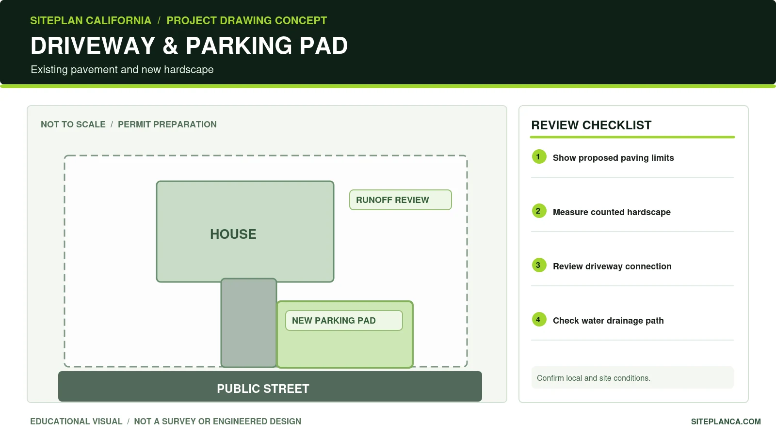
Original illustrative drawing. Not a survey or approved construction plan.
What this drawing needs to communicate
Driveway projects can look straightforward from the street and still create difficult permit comments. Expanding pavement may change the area counted as impervious surface, move runoff toward adjoining properties, interfere with an easement, or alter sightlines and the curb connection. We organize existing and proposed paving on a scaled site plan so the reviewer can see what changes and how the work relates to the lot. A driveway apron, public right-of-way work, paving grades or runoff calculations may require additional details beyond a base site plan.
Service focus: This page is for property-level driveway and paving site plans, not a promise of civil roadway or hydraulic engineering.
What your permit site-plan package can include
The final sheet list is confirmed after we review your records and the responsible agency’s comments. The following are common components for this service.
Scaled existing and proposed plan identifying the house, garage, driveway, parking pad, sidewalks and relevant hardscape.
Clear hatch or key distinguishing pavement to remain, work to be removed, and new paving or permeable surfaces.
Dimensions to property lines, structures, driveway edges, paved areas, access gates and other nearby improvements.
Preliminary area schedule for proposed and existing pavement when measured areas are provided, with counted and excluded areas distinguished.
North arrow, scale, property information, limits of work, materials notes and relevant permit symbols.
Drainage flow arrows or grading notes where source elevations support them; engineered contours, swales and stormwater sizing quoted separately.
What to send us
- Site address, legal parcel information and the latest available survey or site drawing.
- Marked survey showing the proposed paving outline, removals, parking-pad limits and driveway access point.
- Proposed pavement type: concrete, asphalt, pavers, permeable pavers or gravel, with approximate thickness if known.
- Dimensions or a contractor sketch for the driveway width, apron, pad and connecting walkways.
- Existing elevation/topographic data, drainage concerns, curb-cut instructions, and city/HOA comments if supplied.
What requires separate review
- A base driveway site plan is not a licensed land survey or a right-of-way encroachment authorization.
- Civil grading and drainage design, engineered permeable-paving systems or stormwater calculations are separate when required.
- Curb/apron construction details, traffic access review, accessibility or fire access may require agency-specific sheets.
- Plan approval and permit issuance depend on the reviewing agency, which defines applicable impervious limits.
What reviewers may look for
A paving permit review may use several different area metrics. Building coverage, total site imperviousness, landscaped area, and driveway coverage are not interchangeable. We identify roofs, existing paved areas, proposed paved areas, and any removal separately so the appropriate zoning or stormwater schedule can be calculated from the definitions the jurisdiction actually uses.
Driveway aprons and curb cuts connect private improvements to a public street. The city or public works authority may regulate the apron width, sidewalk crossing, slopes, line of sight, access to fire lanes, and whether an encroachment permit is necessary. Private paving that stops short of the right-of-way can still have runoff or access implications. A marked survey helps distinguish the work limits.
For properties with substantial slope or low points, the site plan may need to be paired with proposed grades and drainage details. Surface arrows in an illustrative site plan do not replace spot elevations, swale design, runoff computations, or proof of lawful discharge. Supplying elevation information early helps us confirm whether grading falls inside or outside the original drawing scope.
From a property sketch to a reviewable plan
Map the change
Mark new paving, removal limits, driveway connections and intended material on the survey.
Confirm coverage and access
Identify counted hardscape and check easements, driveway width, access, setbacks and likely runoff paths.
Draft the site plan
Show existing versus proposed conditions with dimensions, area labels and limits of work.
Support corrections
Forward city feedback so we can coordinate any additional grading or detail requirements before proceeding.
Frequently asked questions
Do I need a permit to widen a driveway?
It depends on the city or county, property zoning, right-of-way connections, drainage, slopes and the scope of work. Public curb and sidewalk work often has separate requirements.
Are permeable pavers excluded from impervious-area calculations?
Not automatically. Local definitions and installation systems determine how the surface is treated. We label the proposed material without assuming exemption.
Can you show a parking pad for a vehicle or RV?
Yes, where allowed. We can illustrate the proposed pad and access, but zoning may limit parking location, materials, vehicle types or yard coverage.
Is a grading and drainage plan part of the site-plan price?
Not unless explicitly included in the agreed scope. A detailed grading plan needs reliable elevations, runoff analysis and sometimes licensed engineering.
What information is most important for an accurate quote?
The survey, a clear paving markup, approximate dimensions, material, city location and any specific plan-check comments are the fastest starting points.
Helpful related resources
Request a scope review for your property
Share your address, existing survey, marked-up changes and any city comments. We will confirm the drawing deliverables, turnaround and price before work begins. Required professional review or seal is scoped separately as applicable.
Request Your Free Project Review
Share the property address and project details. We will review the information and follow up with the next step, scope, and pricing.
- California residential and commercial permit plans
- Engineering coordination when required
- Secure online enquiry and document upload