01
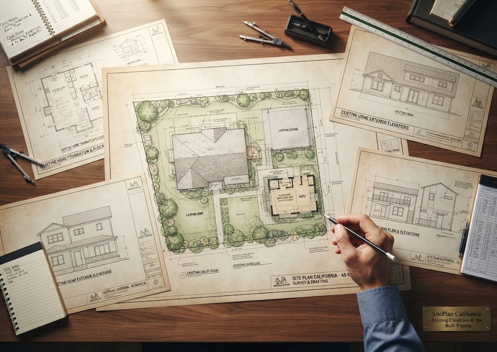
Existing Primary Building
The main residence footprint documented from appropriate source information.
Many property projects begin with a basic problem: no one has a reliable, readable drawing of what is actually on the site today. An old permit set may no longer reflect later improvements, or the property may have changed hands without a current site plan being maintained.
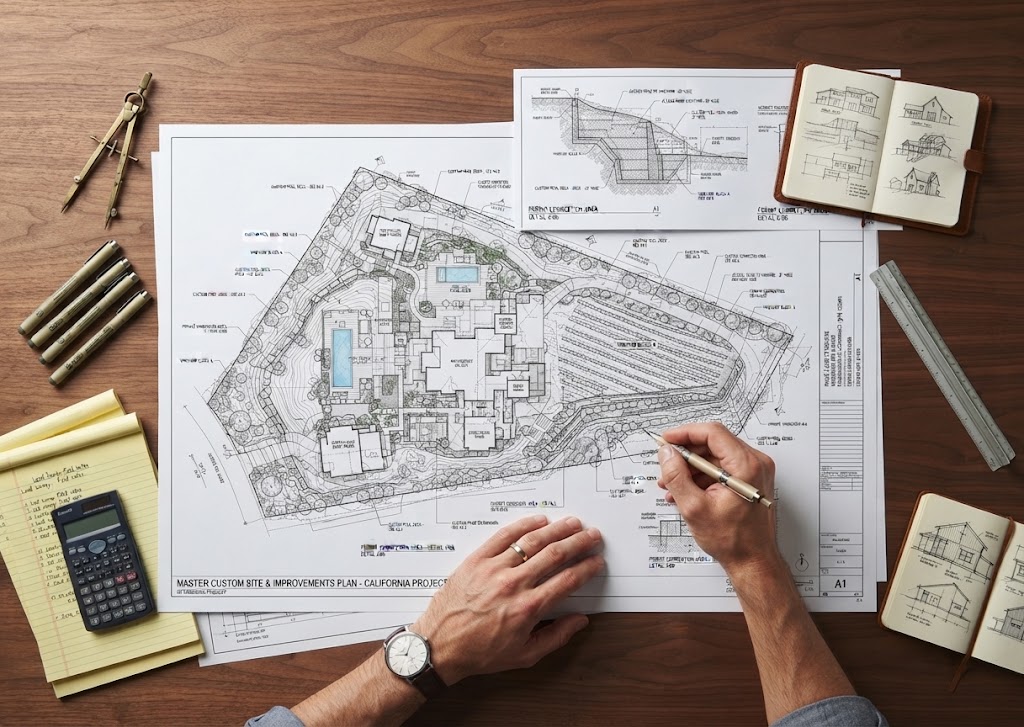
SitePlan California prepares existing conditions drawings and as-built site plans for California properties using the best available source information. These drawings help homeowners, contractors, architects, designers, property managers, real-estate professionals, permit expediters and developers establish a clearer property base before planning new work.
The drawing scope depends on the purpose and source information available. A drafting record of existing conditions is not automatically a certified survey or engineer-stamped record drawing.
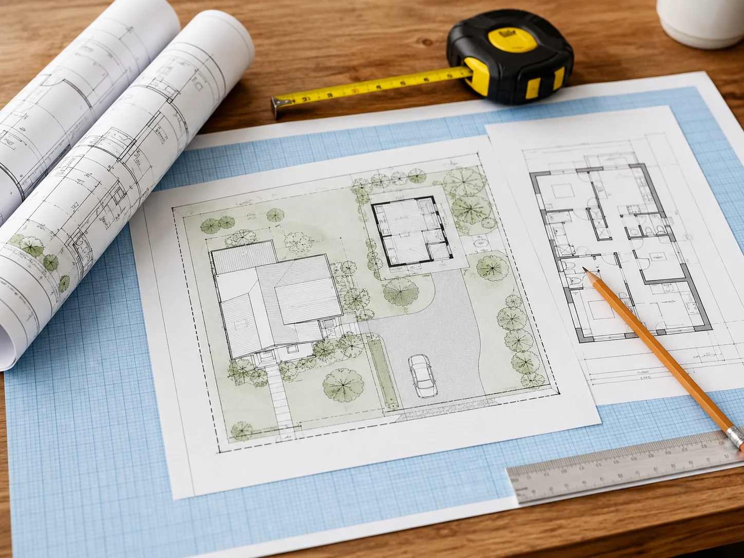
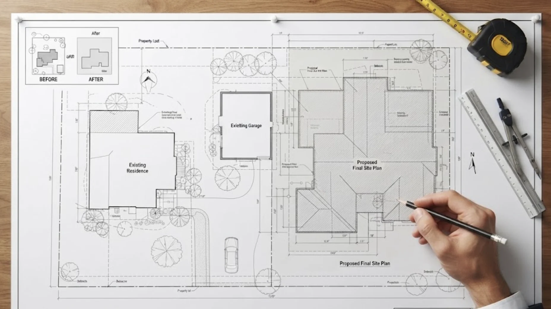
An existing-condition site plan is a top-down drawing that documents the relevant property improvements as they currently exist based on the information supplied and available for the project — the main residence, garages, ADUs, accessory structures, driveways, walkways, patios, pools, decks, fences, and other improvements.
The level of detail should be driven by the purpose. A homeowner preparing for a small addition may need a different existing-condition base from a commercial property manager documenting parking and circulation.
An as-built drafting plan is not automatically a land survey. Our role is to organize documented and measured existing conditions into professional CAD drawings while clearly separating general drafting from licensed boundary surveying, civil engineering, architecture, or other professional services when those are required.
The drawing should be tailored to the property and the intended use — we do not add every possible site feature when it does not help the project.
The main residence footprint documented from appropriate source information.
Existing garages, ADUs, sheds, and other dwelling or accessory structures.
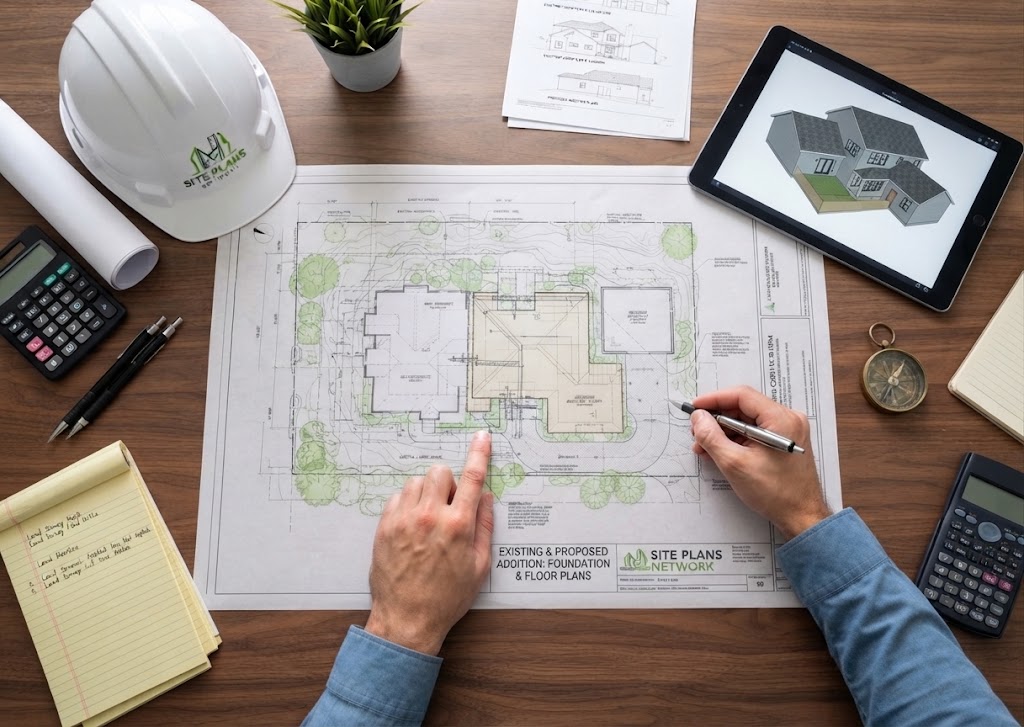
Existing driveways, parking areas, and access affecting the property.
Major existing hardscape and circulation features.
Existing pools, spas, decks, patios, and covers documented where relevant.
Shown when relevant to the intended use of the drawing.
In construction practice, "as-built" is often used for drawings that document conditions after work has been completed — but the term is used differently by different clients and agencies. For our service, an as-built site plan means a drafting record of existing property conditions based on the records, measurements, photographs, surveys, and other source information provided or available.
A professional CAD organization of the documented existing conditions — using available records, photos, measurements, and survey information as inputs, with source limits communicated honestly.
It does not mean SitePlan California independently certifies every dimension in the field. It does not mean a legal boundary survey has been performed, and it does not convert unverified information into verified professional survey data.
If an authority requires certified record drawings, a licensed survey, or engineer-stamped as-builts, that requirement must be handled according to the applicable professional and jurisdictional rules.
An existing-condition drawing can become the foundation for many types of property work. Establishing one coordinated site base can reduce repeated research and conflicting assumptions as the project develops.
When a current professional survey is not available, the project may rely on a combination of records, photographs, measurements, aerial references, existing plans, and information supplied by the owner or contractor.
Photographs help confirm visible site features; measurements help document the size of patios, walkways, or decks; contractor markups may identify changes not shown in public records. A dimension supplied by the client is shown as a project input — never represented as though it were independently surveyed by the drafter.
A land survey is a regulated professional service in California. The California Board for Professional Engineers, Land Surveyors, and Geologists grants authority to practice land surveying to qualified licensees. An as-built drafting plan can use a survey as a source, but it is not automatically a survey — that distinction matters most when exact property lines, easements, monuments, topography, or legal boundary relationships control the project.
Permit reviewers sometimes request clearer documentation of what already exists. An updated existing-condition plan can help reorganize the project — the current property is documented first, then the proposed work is layered onto a cleaner base, often making it easier to address comments related to setbacks, structure locations, access, or conflicts between sheets.
If the jurisdiction is asking for proof that an existing improvement was legally permitted, a new drawing alone does not establish permit history — permit records and other agency documentation may still be required.
A typical deliverable can include a clean existing-condition site plan in PDF format, with CAD/DWG source files when included in the agreement. The plan can serve as a base for later proposed-work drawings or be used as project documentation within its stated scope.
The drawing should not be presented to a third party as a professional land survey, engineering certification, or legal boundary determination unless that work was actually performed by the appropriate licensed professional. Clear scope language protects the owner, the project team, and the usefulness of the drawing.
You can start the discussion with just the property address and the reason you need the plan.
Identifies the project location and starting point.
Verified boundary information when available.
Archived drawings and architectural or contractor plans.
Confirms visible structures, hardscape, and access.
Client measurements and assessor or parcel records already obtained.
Correction comments and notes identifying recent construction or demolition.
Common questions about scope, source information, professional coordination, revisions, and delivery.
Send the property address, a short description of the project, and any drawings, surveys, photos, markups, permit comments, or other information you already have.